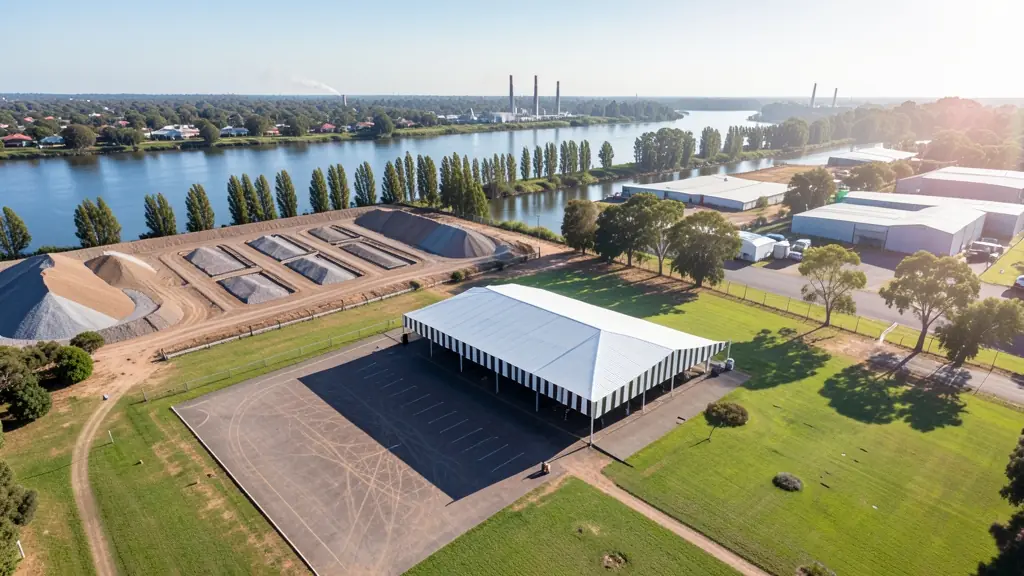
Need drone surveying and mapping in Vanderbijlpark? CameraDrones.co.za puts farms, businesses, estate agents and event organisers in Vanderbijlpark in touch with drone surveying and mapping companies working in Vanderbijlpark and nearby areas of Gauteng. Send one request and licensed operators quote you directly, free and with no obligation.
Drone Surveying and Mapping in Vanderbijlpark
Drone survey operators working around Vanderbijlpark map building sites, quarries, farms, roads and new developments. Local teams know the terrain, the bush cover and the airspace limits near airports, and many work with land surveyors in Gauteng, so ask for quotes from mapping operators who regularly fly here.
New to this? Read the drone surveying and mapping guide for the choices and the questions worth asking before you pay.
What to know locally in Vanderbijlpark
Paid work in Vanderbijlpark centres on the steel works and nearby plants, where licensed operators inspect roofs, stacks, conveyors and tanks, often with thermal cameras read by a trained thermographer. River resorts and estates along the Vaal near Vaalpark and Three Rivers book promotional video. Builders use progress mapping on new sites. Ask for the RPL and ROC, insurance cover for industrial sites, and a sample inspection report.
What people fly for in Vanderbijlpark
Vanderbijlpark was built around a steel works, and heavy industry still drives most paid drone work here. Plants and contractors ask for stack, roof, conveyor and structure inspections, often with thermal cameras, and the work happens inside sites with strict safety rules. The Vaal River gives the town its other side: riverside homes, resorts and boating events that want aerial video. Sebokeng and Bophelong add community and municipal work. Vereeniging airfield is close, and the industrial plants across the river near Sasolburg need permission to overfly. Summers are hot with heavy storms, and winter inversions can trap smoke and haze over the Vaal for much of the morning.

Who asks for drone surveying and mapping around Vanderbijlpark, most often first:
- Mines, plants and utilities: stockpile, pit and tailings volumes for mines, quarries and bulk storage yards
- Builders, engineers and installers: cut and fill, earthworks volumes and monthly progress maps on building sites
- Municipalities, schools and NGOs: aerial mapping for municipal planning, informal settlement upgrades and roads
Local tips for Vanderbijlpark
Drone suppliers for Vanderbijlpark mostly work like this: operators in Vanderbijlpark and Vereeniging cover the whole Vaal Triangle. The requests that come up most: steel and plant inspections, often thermal, plus Vaal River video. When you ask for quotes, for plants, ask whether the operator can join your site safety induction.
Drone Surveying and Mapping usually suit sites, mines, farms, roads and developments, done like this: grid flights processed into maps and models. For mines, plants and utilities, the biggest group here, that usually means stockpile, pit and tailings volumes for mines, quarries and bulk storage yards. On the weather side: hot summers with heavy storms; winter inversions trap smoke and haze.
Service area: Vanderbijlpark and surrounds
Requests from Vanderbijlpark go to shops and pilots who already work in Vereeniging, Sasolburg, Vaalpark, Sebokeng, Bophelong, Three Rivers, Emfuleni and the rest of the area. Mention an estate's rules or a nearby airfield, because they change how a flight is planned.