Need drone surveying and mapping in Midrand? CameraDrones.co.za puts farms, businesses, estate agents and event organisers in Midrand in touch with drone surveying and mapping companies working in Midrand and nearby areas of Gauteng. Send one request and licensed operators quote you directly, free and with no obligation.
Drone Surveying and Mapping in Midrand
Drone survey operators working around Midrand map building sites, quarries, farms, roads and new developments. Local teams know the terrain, the bush cover and the airspace limits near airports, and many work with land surveyors in Gauteng, so ask for quotes from mapping operators who regularly fly here.
The main drone surveying and mapping page explains the types, the licences and the costs in more detail.
Midrand notes on drone services
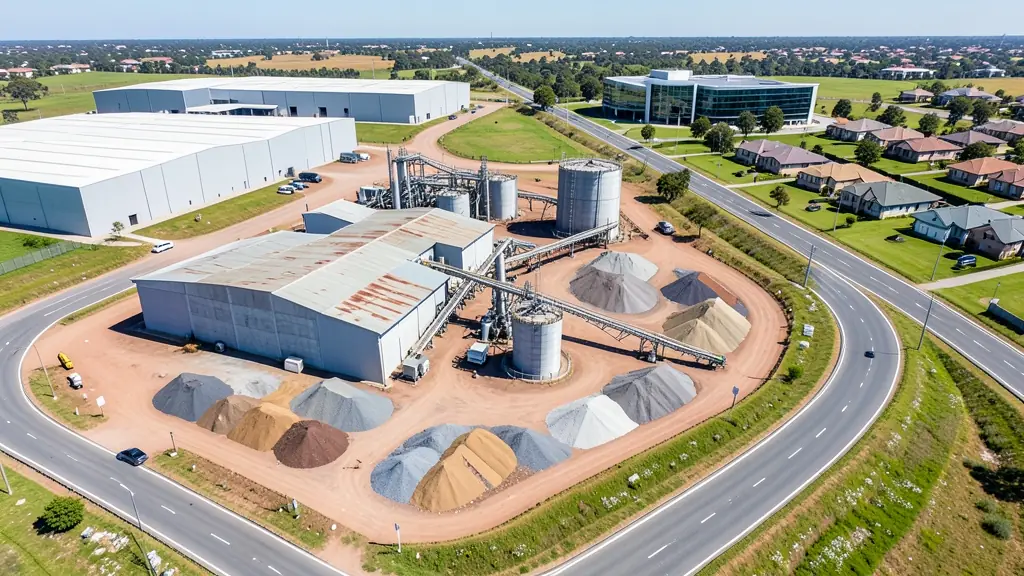
Midrand's steadiest demand is construction: monthly mapping, stockpile measurement and progress video on estates and warehouses in Waterfall, Kyalami and Halfway Gardens. Logistics parks ask for roof and solar inspections on large sheds, and security firms on estates ask about patrol flights. Agencies book event filming at Gallagher and the Kyalami circuit. Ask for the RPL and ROC, and how the operator coordinates with Grand Central Airport.
What people fly for in Midrand
Midrand has its own airport, Grand Central, right beside the N1, and it sits between the controlled airspace of Lanseria and O.R. Tambo, so pilots here learn early to check charts. The area is still filling up. Waterfall, Kyalami and Carlswald keep adding estates, warehouses and office campuses, which keeps surveying and progress video operators in demand. Motor and corporate events at the Kyalami circuit and Gallagher bring film crews with drones. Summer storms build quickly over open grassland and can push strong gusts ahead of the rain. Logistics companies, developers, event organisers and families in new estates make up most of the people asking for quotes.

Typical drone surveying and mapping requests in the area come from:
- Builders, engineers and installers: cut and fill, earthworks volumes and monthly progress maps on building sites
- Mines, plants and utilities: stockpile, pit and tailings volumes for mines, quarries and bulk storage yards
- Photographers, film crews and agencies: accurate 3D models of landscapes and sites used in visualisation and planning
Local tips for Midrand
Most asked for in Midrand: progress video and mapping of new developments, plus event filming. Where suppliers and pilots work from: operators in business parks near the N1 serve both Johannesburg and Pretoria. A useful tip: for building sites, ask for a fixed monthly flight plan with the same viewpoints.
Drone Surveying and Mapping usually suit sites, mines, farms, roads and developments, done like this: grid flights processed into maps and models. For builders, engineers and installers, the biggest group here, that usually means cut and fill, earthworks volumes and monthly progress maps on building sites. On the weather side: gusty storm fronts on summer afternoons; still, clear winter mornings.
Service area: Midrand and surrounds
Suppliers and operators on our network work in Midrand and surrounding areas, including Waterfall, Kyalami, Halfway House, Vorna Valley, Carlswald, Noordwyk, Glen Austin. Give the suburb, farm or site so the quote can include travel, delivery and any airspace approval.