Need drone surveying and mapping in Roodepoort? CameraDrones.co.za puts farms, businesses, estate agents and event organisers in Roodepoort in touch with drone surveying and mapping companies working in Roodepoort and nearby areas of Gauteng. Send one request and licensed operators quote you directly, free and with no obligation.
Drone Surveying and Mapping in Roodepoort
Drone survey operators working around Roodepoort map building sites, quarries, farms, roads and new developments. Local teams know the terrain, the bush cover and the airspace limits near airports, and many work with land surveyors in Gauteng, so ask for quotes from mapping operators who regularly fly here.
Want to know more first? Our drone surveying and mapping guide covers the options, the rules and what affects the price.
What to know locally in Roodepoort
Paid drone work in Roodepoort centres on property and land. Estates in Ruimsig, Wilgeheuwel and Radiokop use aerial photos to show the view from the ridges, while developers ask for topographic surveys of old mine ground around Florida and Maraisburg before building. Shopping centre and factory owners order roof inspections. Ask a surveyor which accuracy they work to, whether ground control points are included, and to see the RPL and ROC.
Roodepoort from the air
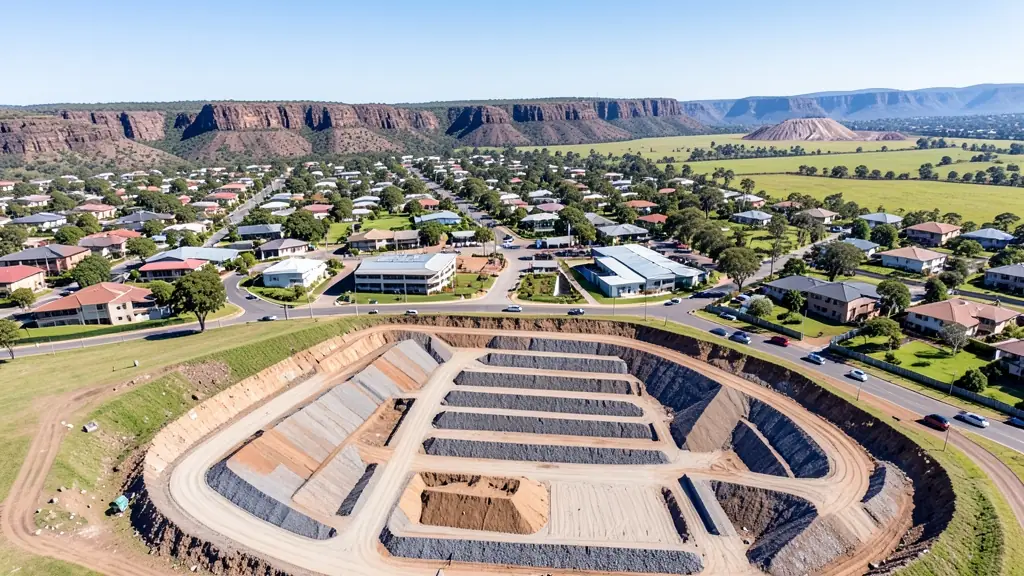
Roodepoort is ridge country, and the rocky Witwatersrand outcrops give drone pilots height and wind in equal measure. The Walter Sisulu National Botanical Garden, with its waterfall and nesting eagles, and Kloofendal Nature Reserve are protected areas where flying needs permission from the managers. Elsewhere the work is practical: estates in Ruimsig and Wilgeheuwel marketed from the air, old mine land around Florida and Maraisburg surveyed for redevelopment, and shopping centres inspected on their large roofs. Lanseria Airport is close to the north. Strong gusts come off the ridges ahead of summer storms, and winter brings cold, still mornings that suit careful mapping flights.

The requests we see from Roodepoort usually come from:
- Estate agents and developers: site plans and 3D models for developers before design and during marketing
- Builders, engineers and installers: cut and fill, earthworks volumes and monthly progress maps on building sites
- Hobbyists and families: a measured aerial map of a smallholding before building, fencing or subdividing
Local tips for Roodepoort
Most asked for in Roodepoort: estate marketing, ridge views and surveys of old mine land. Where suppliers and pilots work from: operators in Florida, Constantia Kloof and Honeydew cover the West Rand. A useful tip: ask the operator where they will take off, since ridge gusts can be strong.
Drone Surveying and Mapping usually suit sites, mines, farms, roads and developments, done like this: grid flights processed into maps and models. For estate agents and developers, the biggest group here, that usually means site plans and 3D models for developers before design and during marketing. On the weather side: ridge gusts ahead of summer storms; still, cold winter mornings.
Service area: Roodepoort and surrounds
Suppliers and operators on our network work in Roodepoort and surrounding areas, including Florida, Weltevredenpark, Ruimsig, Little Falls, Honeydew, Wilgeheuwel, Constantia Kloof. Give the suburb, farm or site so the quote can include travel, delivery and any airspace approval.