A good drone job starts with a clear brief. Describe yours once in a request for drone surveying and mapping in Pretoria, with the site, the date and what you need back, and we pass it to drone surveying and mapping companies who fly in Pretoria and nearby areas of Gauteng.
Drone Surveying and Mapping in Pretoria
Drone survey operators working around Pretoria map building sites, quarries, farms, roads and new developments. Local teams know the terrain, the bush cover and the airspace limits near airports, and many work with land surveyors in Gauteng, so ask for quotes from mapping operators who regularly fly here.
New to this? Read the drone surveying and mapping guide for the choices and the questions worth asking before you pay.
Drone services in Pretoria: local notes
Licensed operators in Pretoria shoot estate listings in Waterkloof, Brooklyn and Faerie Glen, map new developments around Olievenhoutbosch and Mooikloof, and inspect roofs, solar arrays and towers on business parks. Public bodies sometimes ask for records of roads and parks. Because so many jobs fall near Waterkloof Air Force Base or embassies, ask each operator how they arrange permission, and see the RPL and ROC before you pay a deposit.
Drones in Pretoria
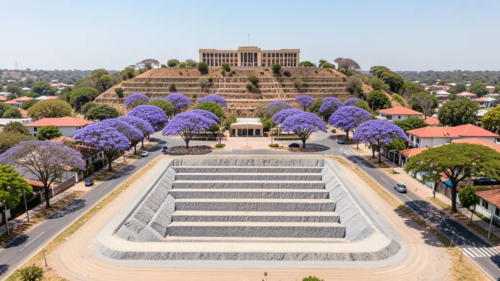
Pretoria is a city where the first question for any drone job is not the weather but the address. Waterkloof Air Force Base sits on the south east side, Swartkop to the south west and Wonderboom Airport in the north, while the Union Buildings, embassies, government offices and prisons add restricted spots in between. That still leaves plenty of work: university campuses in Hatfield, jacaranda season video in spring, property marketing in the eastern suburbs and inspections on farms toward Bronkhorstspruit. Summers bring heavy afternoon storms and lightning over the Magaliesberg. Winters are mild and clear, which makes them the best months for photography and mapping.

The requests we see from Pretoria usually come from:
- Estate agents and developers: site plans and 3D models for developers before design and during marketing
- Municipalities, schools and NGOs: aerial mapping for municipal planning, informal settlement upgrades and roads
- Photographers, film crews and agencies: accurate 3D models of landscapes and sites used in visualisation and planning
Local tips for Pretoria
Popular here: estate photos in the east, campus and event video, jacaranda season shoots. Ask each supplier about this: give the exact street address so the operator can check bases and embassies first. Where they work from: operators in Hatfield, Silverton, Menlyn and Montana serve the whole of Tshwane.
Requests range widely: a few hectares to thousands of hectares. Here, estate agents and developers lead the requests, typically for site plans and 3D models for developers before design and during marketing. One local point to raise: waterkloof and Swartkop air force bases and Wonderboom Airport limit much of the city.
Service area: Pretoria and surrounds
Our network covers Pretoria together with Centurion, Hatfield, Waterkloof, Montana, Silver Lakes, Mooikloof, Akasia. A street address or a farm name helps a drone surveyor check the airspace before quoting.