Compare pilots, licences and prices before anyone takes off. A free request for drone surveying and mapping in Alberton goes to a drone surveyor covering Alberton and nearby areas of Gauteng, and you see the offers side by side.
Drone Surveying and Mapping in Alberton
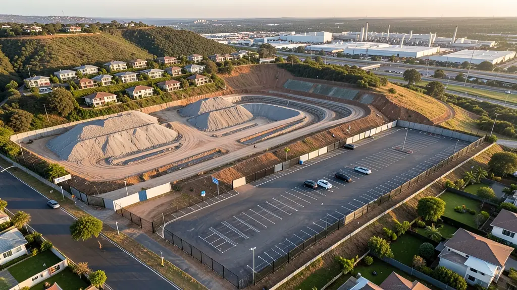
Drone survey operators working around Alberton map building sites, quarries, farms, roads and new developments. Local teams know the terrain, the bush cover and the airspace limits near airports, and many work with land surveyors in Gauteng, so ask for quotes from mapping operators who regularly fly here.
New to this? Read the drone surveying and mapping guide for the choices and the questions worth asking before you pay.
Drone services in Alberton: local notes
Licensed operators in Alberton photograph homes in Meyersdal and Mayberry Park for listings, inspect factory roofs and solar arrays in Alrode, and track progress on warehouses along the main routes. Security firms on ridge estates ask about patrol flights. Hail season brings insurance inspections across Brackendowns and Randhart. Ask each operator for the RPL and ROC, and how they plan flights near Rand Airport.
Drones in Alberton
Alberton splits neatly into ridge and flat ground, and drone work follows the split. Up on the Klipriviersberg ridge, Meyersdal and Mayberry Park have large homes with views that estate agents and owners like to show from the air, beside the Klipriviersberg Nature Reserve, which is a protected area. Down on the flats, Alrode and Alberton North hold factories and depots that ask for roof inspections, stock measurement and site records. Thokoza and Katlehong add community events and municipal projects. Rand Airport sits a short way to the north, so check airspace before flying. Thunderstorms build over the ridge on summer afternoons, and winter haze settles on the industrial flats.

Who asks for drone surveying and mapping around Alberton, most often first:
- Estate agents and developers: site plans and 3D models for developers before design and during marketing
- Mines, plants and utilities: stockpile, pit and tailings volumes for mines, quarries and bulk storage yards
- Builders, engineers and installers: cut and fill, earthworks volumes and monthly progress maps on building sites
Local tips for Alberton
Most asked for in Alberton: ridge estate listings in Meyersdal and roof inspections in Alrode. Where suppliers and pilots work from: operators in Alberton, New Redruth and Brackenhurst cover the south east. A useful tip: estate sellers can ask for a shot showing the ridge, the plot and the access road.
Drone Surveying and Mapping usually suit sites, mines, farms, roads and developments, done like this: grid flights processed into maps and models. For estate agents and developers, the biggest group here, that usually means site plans and 3D models for developers before design and during marketing. On the weather side: afternoon storms over the ridge; winter haze on the industrial flats.
Service area: Alberton and surrounds
Requests from Alberton go to shops and pilots who already work in Meyersdal, New Redruth, Brackendowns, Alrode, Randhart, Brackenhurst, Thokoza and the rest of the area. Mention an estate's rules or a nearby airfield, because they change how a flight is planned.