A good drone job starts with a clear brief. Describe yours once in a request for drone surveying and mapping in Johannesburg, with the site, the date and what you need back, and we pass it to drone surveying and mapping companies who fly in Johannesburg and nearby areas of Gauteng.
Drone Surveying and Mapping in Johannesburg
Drone survey operators working around Johannesburg map building sites, quarries, farms, roads and new developments. Local teams know the terrain, the bush cover and the airspace limits near airports, and many work with land surveyors in Gauteng, so ask for quotes from mapping operators who regularly fly here.
Want to know more first? Our drone surveying and mapping guide covers the options, the rules and what affects the price.
What to know locally in Johannesburg
Paid drone work in Johannesburg covers film and advertising shoots in Maboneng and the CBD, progress video on construction sites in Waterfall and Modderfontein, and roof inspections on older homes in Houghton and Parktown. Mine rehabilitation and dump reclamation projects in the south often ask for repeat mapping. Any operator you book should hold an RPL and ROC and be able to explain how they get permission to fly near the airports.
Johannesburg from the air
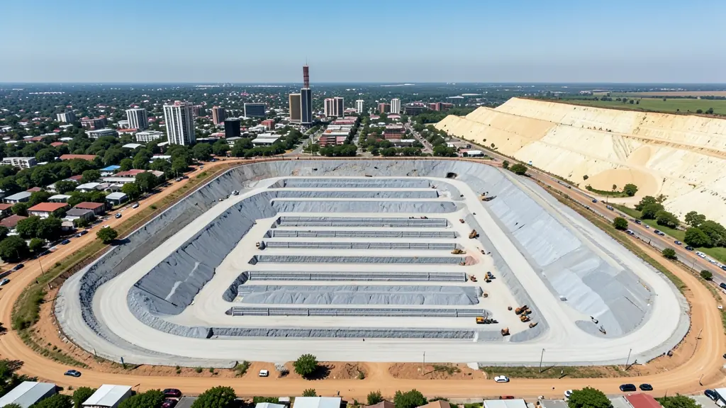
Johannesburg gives a drone pilot more variety in one day than most cities. Work ranges from skyline shots over Braamfontein and Hillbrow for agencies, to roof and solar checks in the northern suburbs, to volume surveys on the old mine dumps along the southern edge of the city. The catch is airspace. O.R. Tambo lies to the east, Lanseria to the north west and Rand Airport to the south east, so a lot of the metro sits in controlled airspace and paid jobs need planning. Summer afternoons bring thunderstorms and lightning, so shoots tend to be booked for mornings. Buyers range from first-time hobbyists to production houses, engineers and security firms.

The requests we see from Johannesburg usually come from:
- Photographers, film crews and agencies: accurate 3D models of landscapes and sites used in visualisation and planning
- Estate agents and developers: site plans and 3D models for developers before design and during marketing
- Builders, engineers and installers: cut and fill, earthworks volumes and monthly progress maps on building sites
Local tips for Johannesburg
Popular here: skyline video for agencies, roof checks and mine dump volume surveys. Ask each supplier about this: ask the operator how they handle airspace approval for your exact address. Where they work from: shops and operators across the northern suburbs, the CBD and the West Rand.
Around Johannesburg the largest group asking is photographers, film crews and agencies, which usually means accurate 3D models of landscapes and sites used in visualisation and planning. Before anything flies: rPL and ROC; boundaries need a land surveyor. Keep in mind: o.R. Tambo, Lanseria and Rand Airport ring the city: much of it is controlled.
Service area: Johannesburg and surrounds
Requests from Johannesburg go to shops and pilots who already work in Sandton, Randburg, Roodepoort, Soweto, Rosebank, Fourways, Melville and the rest of the area. Mention an estate's rules or a nearby airfield, because they change how a flight is planned.