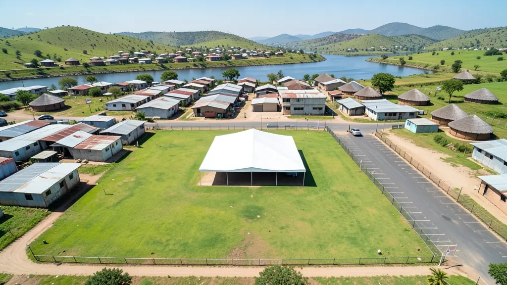
A good drone job starts with a clear brief. Describe yours once in a request for drone surveying and mapping in Mthatha, with the site, the date and what you need back, and we pass it to drone surveying and mapping companies who fly in Mthatha and nearby areas of Eastern Cape.
Drone Surveying and Mapping in Mthatha
Drone survey operators working around Mthatha map building sites, quarries, farms, roads and new developments. Local teams know the terrain, the bush cover and the airspace limits near airports, and many work with land surveyors in Eastern Cape, so ask for quotes from mapping operators who regularly fly here.
New to this? Read the drone surveying and mapping guide for the choices and the questions worth asking before you pay.
What to know locally in Mthatha
Wedding and ceremony videographers in Qunu, Ngcobo and the villages around Mthatha often add a drone for wide shots of the homestead and the crowd arriving. Operators must keep clear of people, so ask how they plan the flight. Lodges along the coast ask for promotional clips, and road builders want mapping of new routes. Confirm travel costs, overnight stays and a backup date for rain.
What people fly for in Mthatha
Mthatha is the gateway to the Wild Coast, and drone requests here mix town life with long rural drives. Tourism operators and guesthouses want aerial clips of the coastline at Coffee Bay and Hole in the Wall, while families ask for footage of weddings, traditional ceremonies and homestead gatherings in the hills. Municipal and road projects call for mapping across wide, hilly ground. Summer brings heavy thunderstorms and humid haze, so morning flights are usually the safest. Mthatha Airport lies just outside town, which limits flying nearby. Because few specialists are based here, many operators drive in from East London or further, so book early.

The requests we see from Mthatha usually come from:
- Hobbyists and families: a measured aerial map of a smallholding before building, fencing or subdividing
- Photographers, film crews and agencies: accurate 3D models of landscapes and sites used in visualisation and planning
- Municipalities, schools and NGOs: aerial mapping for municipal planning, informal settlement upgrades and roads
Local tips for Mthatha
Popular here: wedding, ceremony and tourism footage, plus mapping for roads and rural projects. Ask each supplier about this: ask whether travel, overnight stays and a rain date are included in the quote. Where they work from: a few local pilots; larger jobs draw operators from East London and beyond.
Drone Surveying and Mapping usually suit sites, mines, farms, roads and developments, done like this: grid flights processed into maps and models. For hobbyists and families, the biggest group here, that usually means a measured aerial map of a smallholding before building, fencing or subdividing. On the weather side: humid summers with afternoon thunderstorms: fly early and watch the sky.
Service area: Mthatha and surrounds
Suppliers and operators on our network work in Mthatha and surrounding areas, including Ngcobo, Libode, Qunu, Mqanduli, Tsolo, Viedgesville. Give the suburb, farm or site so the quote can include travel, delivery and any airspace approval.