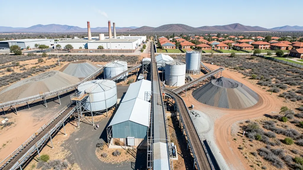
Need drone surveying and mapping in Kariega (Uitenhage)? CameraDrones.co.za puts farms, businesses, estate agents and event organisers in Kariega in touch with drone surveying and mapping companies working in Kariega (Uitenhage) and nearby areas of Eastern Cape. Send one request and licensed operators quote you directly, free and with no obligation.
Drone Surveying and Mapping in Kariega
Drone survey operators working around Kariega map building sites, quarries, farms, roads and new developments. Local teams know the terrain, the bush cover and the airspace limits near airports, and many work with land surveyors in Eastern Cape, so ask for quotes from mapping operators who regularly fly here.
New to this? Read the drone surveying and mapping guide for the choices and the questions worth asking before you pay.
What to know locally in Kariega
Licensed operators cover Kariega and Gqeberha together, so ask about travel costs to Despatch or Langa. Industrial clients ask for roof surveys, stockpile volumes and progress mapping on new builds near the factories. Estate agents want aerial photos for homes in Kruisrivier and Despatch. Before a shoot near a plant or warehouse, the operator will need site permission and a safety briefing, so allow time for that paperwork.
Kariega from the air
Kariega is a factory town first, and much of the drone work here follows the car plants and their suppliers. Roof and cladding inspections, progress mapping on new warehouse sites and short video clips for plant tours are common requests, alongside family photos and matric farewell clips in the suburbs. The flat plain makes for easy launches, but the wind off the coast can pick up by midday, so many pilots fly in the morning. Chief Dawid Stuurman International in Gqeberha sits close enough that parts of the area fall under controlled airspace. Buyers here are often engineers, plant managers and hobbyists who shop in Gqeberha.

Who asks for drone surveying and mapping around Kariega, most often first:
- Mines, plants and utilities: stockpile, pit and tailings volumes for mines, quarries and bulk storage yards
- Builders, engineers and installers: cut and fill, earthworks volumes and monthly progress maps on building sites
- Hobbyists and families: a measured aerial map of a smallholding before building, fencing or subdividing
Local tips for Kariega
Popular here: roof and plant inspections for car factories and suppliers, plus hobby drones. Ask each supplier about this: ask whether the operator has flown inside factory sites and holds site safety papers. Where they work from: shops and licensed operators mostly based in Gqeberha, travelling to Kariega.
Requests range widely: a few hectares to thousands of hectares. Here, mines, plants and utilities lead the requests, typically for stockpile, pit and tailings volumes for mines, quarries and bulk storage yards. One local point to raise: chief Dawid Stuurman International in Gqeberha is near: check controlled airspace first.
Service area: Kariega and surrounds
Our network covers Kariega together with KwaNobuhle, Despatch, Rosedale, Langa, Gqeberha, Kruisrivier. A street address or a farm name helps a drone surveyor check the airspace before quoting.