Compare pilots, licences and prices before anyone takes off. A free request for drone surveying and mapping in Eastern Cape goes to a drone surveyor covering towns and cities across Eastern Cape, and you see the offers side by side.
Drone Surveying and Mapping in Eastern Cape
Drone survey operators working around Eastern Cape map building sites, quarries, farms, roads and new developments. Local teams know the terrain, the bush cover and the airspace limits near airports, and many work with land surveyors in Eastern Cape, so ask for quotes from mapping operators who regularly fly here.
New to this? Read the drone surveying and mapping guide for the choices and the questions worth asking before you pay.
Drone services in Eastern Cape: local notes
Licensed operators inspect turbines at the wind farms near Jeffreys Bay and Cookhouse, survey earthworks around the Coega zone and the Port of Ngqura, and map citrus blocks in the Sundays River Valley. Private game reserves near Makhanda and Kenton-on-Sea book marketing video filmed within their own land. Estate agents in Walmer and Beacon Bay ask for aerial photos. Ask how the operator handles strong wind and whether a backup day is included.
What people fly for in Eastern Cape
The Eastern Cape stretches from the Karoo plains around Graaff-Reinet to the Wild Coast near Mthatha, and drone jobs are just as varied. Gqeberha and East London have vehicle plants, the Coega zone and busy ports, bringing inspection and survey work. Wind farms near Jeffreys Bay, Humansdorp and Cookhouse need blade and tower checks. Citrus growers in the Sundays River Valley and pineapple farms near Bathurst ask for spraying and mapping. Surf spots, private reserves and Wild Coast villages draw tourism footage, but Addo Elephant, Mountain Zebra, Camdeboo and the Tsitsikamma section of the Garden Route park are national parks with no drone flying. Strong coastal wind is the main limit, so many flights wait for a calm morning.

Typical drone surveying and mapping requests in the area come from:
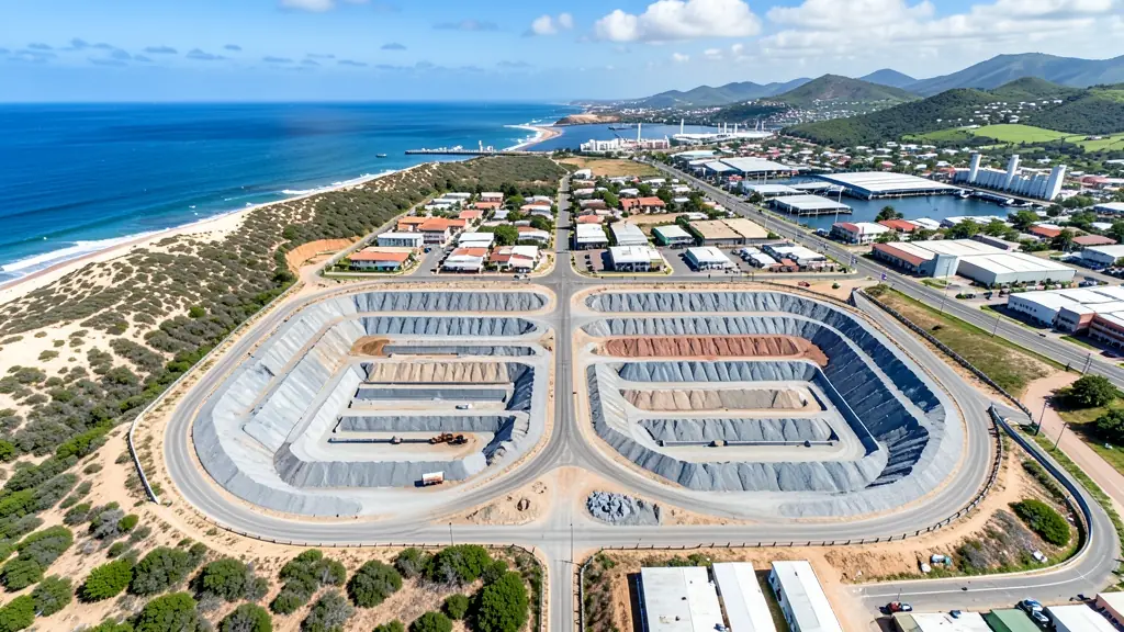
- Mines, plants and utilities: stockpile, pit and tailings volumes for mines, quarries and bulk storage yards
- Farmers and growers: field boundaries, contours and drainage maps for planning lands, dams and roads
- Photographers, film crews and agencies: accurate 3D models of landscapes and sites used in visualisation and planning
Local tips for Eastern Cape
Drone suppliers for Eastern Cape mostly work like this: gqeberha, East London, Makhanda and Jeffreys Bay. The requests that come up most: wind farm inspections, citrus spraying and coastal tourism footage. When you ask for quotes, ask about the operator's wind limit and whether a backup day is included.
Requests range widely: a few hectares to thousands of hectares. Here, mines, plants and utilities lead the requests, typically for stockpile, pit and tailings volumes for mines, quarries and bulk storage yards. One local point to raise: gqeberha, East London and Mthatha airports; Addo and Tsitsikamma are no-fly parks.
Service area: Eastern Cape and surrounds
Across Eastern Cape our network reaches Gqeberha, East London, Mthatha, Makhanda, Jeffreys Bay, Port Alfred, Graaff-Reinet and the towns between them. Outside the bigger centres, ask whether the pilot travels with spare batteries and a backup drone.