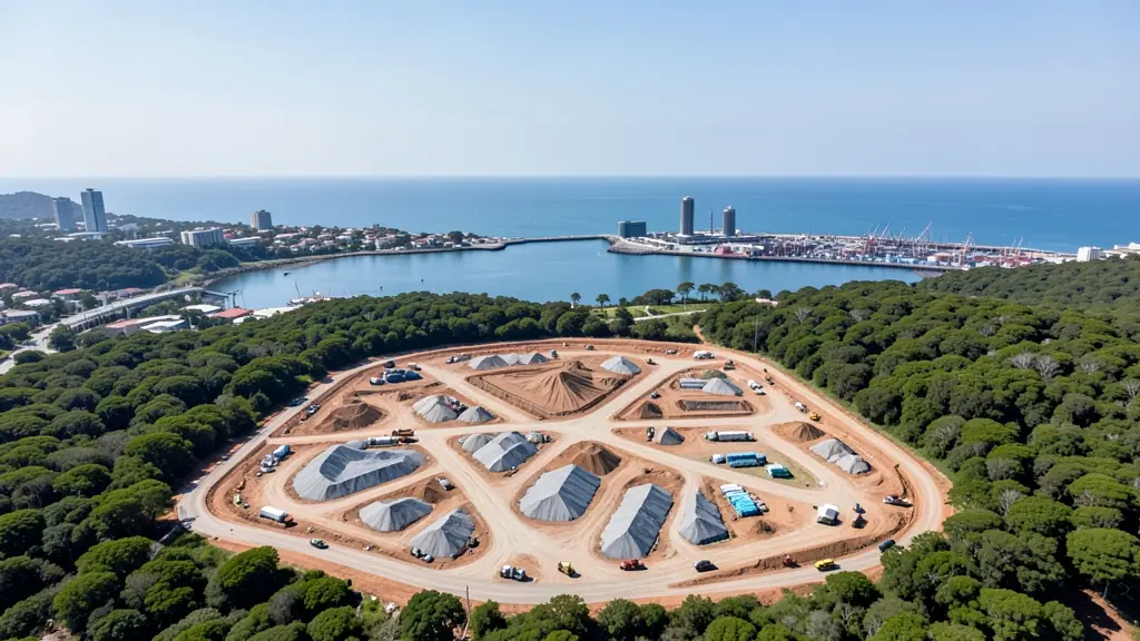
A good drone job starts with a clear brief. Describe yours once in a request for drone surveying and mapping in East London, with the site, the date and what you need back, and we pass it to drone surveying and mapping companies who fly in East London and nearby areas of Eastern Cape.
Drone Surveying and Mapping in East London
Drone survey operators working around East London map building sites, quarries, farms, roads and new developments. Local teams know the terrain, the bush cover and the airspace limits near airports, and many work with land surveyors in Eastern Cape, so ask for quotes from mapping operators who regularly fly here.
Want to know more first? Our drone surveying and mapping guide covers the options, the rules and what affects the price.
What to know locally in East London
Operators around East London photograph homes in Beacon Bay, Nahoon Valley and Gonubie for estate agents, and inspect roofs, tanks and solar arrays in the West Bank industrial zone. Engineers ask for bridge and river mapping along the Buffalo and Nahoon, and government departments book aerial records of projects around Bhisho. Lodges on the Wild Coast hire crews for short films. Ask whether the operator knows the airspace around King Phalo.
Drones in East London
East London is a river city, with the Buffalo River harbour at its heart and estuaries such as the Nahoon, Gonubie and Kwelera along the coast. Drone pilots film surf at Nahoon Reef, holiday homes in the coastal resorts, and the start of the Wild Coast further north. Inland, pineapple and vegetable farms and the grasslands around Qonce and Bhisho bring mapping and spraying requests. King Phalo Airport lies west of the city, close to the West Bank industrial area and the large car plant, so that side of town needs an airspace check. The harbour is restricted too. Coastal wind is common in spring, and summer brings humid days with storms rolling in from the interior.

Who asks for drone surveying and mapping around East London, most often first:
- Estate agents and developers: site plans and 3D models for developers before design and during marketing
- Mines, plants and utilities: stockpile, pit and tailings volumes for mines, quarries and bulk storage yards
- Photographers, film crews and agencies: accurate 3D models of landscapes and sites used in visualisation and planning
Local tips for East London
Most asked for in East London: holiday home and estate shoots, plant inspections and pineapple farm mapping. Where suppliers and pilots work from: vincent, Beacon Bay and the West Bank, with trips to Gonubie, Qonce and Bhisho. A useful tip: ask whether a West Bank or harbour site needs extra airspace permission first.
Drone Surveying and Mapping usually suit sites, mines, farms, roads and developments, done like this: grid flights processed into maps and models. For estate agents and developers, the biggest group here, that usually means site plans and 3D models for developers before design and during marketing. On the weather side: spring coastal wind and humid summer storms: fly mornings and dry gear after.
Service area: East London and surrounds
Our network covers East London together with Mdantsane, Bhisho, Qonce, Beacon Bay, Gonubie, Vincent, Nahoon. A street address or a farm name helps a drone surveyor check the airspace before quoting.