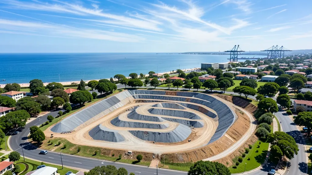
Need drone surveying and mapping in Gqeberha (Port Elizabeth)? CameraDrones.co.za puts farms, businesses, estate agents and event organisers in Gqeberha in touch with drone surveying and mapping companies working in Gqeberha (Port Elizabeth) and nearby areas of Eastern Cape. Send one request and licensed operators quote you directly, free and with no obligation.
Drone Surveying and Mapping in Gqeberha
Drone survey operators working around Gqeberha map building sites, quarries, farms, roads and new developments. Local teams know the terrain, the bush cover and the airspace limits near airports, and many work with land surveyors in Eastern Cape, so ask for quotes from mapping operators who regularly fly here.
Want to know more first? Our drone surveying and mapping guide covers the options, the rules and what affects the price.
Drone services in Gqeberha: local notes
Operators in Gqeberha do roof and facade inspections on factories in Kariega and Struandale, stockpile and construction surveys around the Port of Ngqura, and property shoots for homes in Lovemore Heights and Theescombe. Citrus farms in the Sundays River Valley book spray and mapping work, and game lodges near Addo want video shot outside the park boundaries. Ask how often the operator cancels for wind and whether rebooking costs extra.
What people fly for in Gqeberha
Gqeberha is known as the Windy City, and drone pilots plan around it. Strong westerly and easterly winds sweep Algoa Bay, so calm early mornings are prized for filming Pollock Beach, Sardinia Bay and the dolphins and whales in the bay. The motor plants in Kariega and the Coega industrial zone bring steady inspection and survey work, while citrus growers in the Sundays River Valley ask for spraying and mapping. Chief Dawid Stuurman International Airport sits inside the city near Walmer, which puts large parts of the suburbs within controlled airspace. Addo Elephant National Park lies to the north and is closed to recreational drones, as all national parks are.

The requests we see from Gqeberha usually come from:
- Mines, plants and utilities: stockpile, pit and tailings volumes for mines, quarries and bulk storage yards
- Estate agents and developers: site plans and 3D models for developers before design and during marketing
- Farmers and growers: field boundaries, contours and drainage maps for planning lands, dams and roads
Local tips for Gqeberha
Popular here: factory and port inspections, coastal property shoots and citrus mapping. Ask each supplier about this: ask how the operator handles wind cancellations and whether rebooking is free. Where they work from: newton Park, Walmer and Kariega, with crews covering Coega and the Sundays River.
Around Gqeberha the largest group asking is mines, plants and utilities, which usually means stockpile, pit and tailings volumes for mines, quarries and bulk storage yards. Before anything flies: rPL and ROC; boundaries need a land surveyor. Keep in mind: chief Dawid Stuurman International sits in the city; Addo park is a no-fly area.
Service area: Gqeberha and surrounds
Suppliers and operators on our network work in Gqeberha and surrounding areas, including Kariega, Summerstrand, Walmer, Newton Park, KwaZakhele, Motherwell, Despatch. Give the suburb, farm or site so the quote can include travel, delivery and any airspace approval.