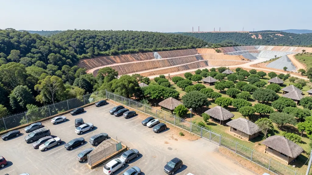
A good drone job starts with a clear brief. Describe yours once in a request for drone surveying and mapping in Mpumalanga, with the site, the date and what you need back, and we pass it to drone surveying and mapping companies who fly in towns and cities across Mpumalanga.
Drone Surveying and Mapping in Mpumalanga
Drone survey operators working around Mpumalanga map building sites, quarries, farms, roads and new developments. Local teams know the terrain, the bush cover and the airspace limits near airports, and many work with land surveyors in Mpumalanga, so ask for quotes from mapping operators who regularly fly here.
Want to know more first? Our drone surveying and mapping guide covers the options, the rules and what affects the price.
What to know locally in Mpumalanga
Operators here map timber compartments around Sabie, Graskop and Bushbuckridge, spray and scout orchards along the Crocodile River valley, and inspect conveyors, chimneys and substations near eMalahleni and Secunda. Lodges and guesthouses on the Panorama Route and near the Kruger gates book aerial video for their websites, but filming must stay outside park boundaries. Ask the operator how they deal with the restricted zones around power stations and the Secunda plant before agreeing a date.
Drones in Mpumalanga
Mpumalanga changes sharply from west to east, and so does the drone work. On the Highveld around eMalahleni, Middelburg and Secunda, operators survey coal stockpiles and inspect conveyors, but power stations and the fuel plant at Secunda are national key points and off limits without permission. Down the escarpment, pine and gum plantations near Sabie and Graskop are mapped for forestry, and citrus and macadamia farms around Mbombela, White River and Hazyview want crop images and spraying. The Blyde River Canyon and Panorama Route draw content creators, yet Kruger National Park is a no-fly area. Kruger Mpumalanga International Airport sits near Mbombela. Expect Lowveld heat, misty escarpment mornings and summer storms.

The requests we see from Mpumalanga usually come from:
- Farmers and growers: field boundaries, contours and drainage maps for planning lands, dams and roads
- Mines, plants and utilities: stockpile, pit and tailings volumes for mines, quarries and bulk storage yards
- Photographers, film crews and agencies: accurate 3D models of landscapes and sites used in visualisation and planning
Local tips for Mpumalanga
Popular here: orchard spraying, forestry mapping and coal stockpile surveys. Ask each supplier about this: ask about permissions near power stations and the Secunda plant. Where they work from: mbombela, White River, eMalahleni, Middelburg and Secunda.
Around Mpumalanga the largest group asking is farmers and growers, which usually means field boundaries, contours and drainage maps for planning lands, dams and roads. Before anything flies: rPL and ROC; boundaries need a land surveyor. Keep in mind: kruger Mpumalanga International near Mbombela; no flying in Kruger National Park.
Service area: Mpumalanga and surrounds
We pass Mpumalanga requests to suppliers and pilots based in or regularly working in Mbombela, eMalahleni, Middelburg, Secunda, White River, Hazyview, Ermelo. Rural sites should give the nearest town and the farm name, so travel is quoted honestly.