Need drone surveying and mapping in Secunda? CameraDrones.co.za puts farms, businesses, estate agents and event organisers in Secunda in touch with drone surveying and mapping companies working in Secunda and nearby areas of Mpumalanga. Send one request and licensed operators quote you directly, free and with no obligation.
Drone Surveying and Mapping in Secunda
Drone survey operators working around Secunda map building sites, quarries, farms, roads and new developments. Local teams know the terrain, the bush cover and the airspace limits near airports, and many work with land surveyors in Mpumalanga, so ask for quotes from mapping operators who regularly fly here.
New to this? Read the drone surveying and mapping guide for the choices and the questions worth asking before you pay.
Secunda notes on drone services
Service jobs in Secunda centre on industrial inspections for contractors, stockpile and tailings surveys around Evander and Kinross, and security patrols for farms and mine perimeters toward Embalenhle. Farmers near Bethal book maize mapping and spraying. Estate agents and developers in Secunda and Trichardt ask for aerial photos. Every industrial job needs the site owner's permission as well as the operator's RPL and ROC, so ask who arranges it.
What people fly for in Secunda
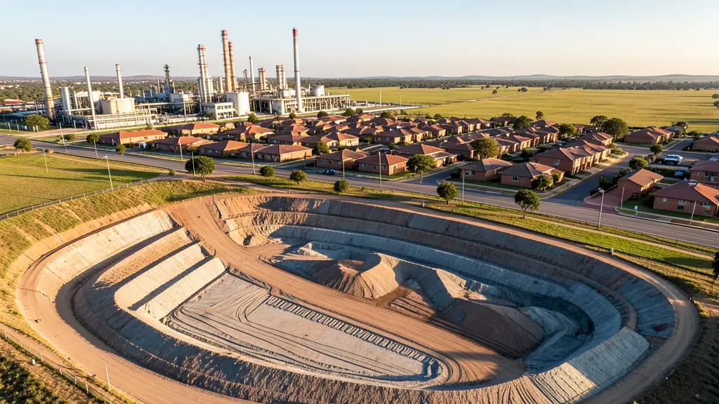
Secunda grew up around one of the largest fuel-from-coal plants in the world, and that plant still shapes everything, including where drones may go. It is a high-security site, so flying near it without permission is out of the question. Most drone work in the area comes from the collieries around Secunda, Evander and Kinross, contractors serving the plant, and grain farmers on the open land toward Bethal and Leandra. Gold mining history around Evander adds tailings dams that need inspection. Highveld winters are dry, with smog and haze hanging over the industrial area, while summer afternoons bring thunderstorms, lightning and hail. Secunda also has its own airfield, which adds another check.

The requests we see from Secunda usually come from:
- Mines, plants and utilities: stockpile, pit and tailings volumes for mines, quarries and bulk storage yards
- Builders, engineers and installers: cut and fill, earthworks volumes and monthly progress maps on building sites
- Farmers and growers: field boundaries, contours and drainage maps for planning lands, dams and roads
Local tips for Secunda
Drone suppliers for Secunda mostly work like this: secunda and Trichardt, with Evander contractors and crews from Gauteng. The requests that come up most: contractor inspections, mine and tailings surveys and grain farm mapping. When you ask for quotes, ask who arranges site permission before any flight near a plant or mine.
Around Secunda the largest group asking is mines, plants and utilities, which usually means stockpile, pit and tailings volumes for mines, quarries and bulk storage yards. Before anything flies: rPL and ROC; boundaries need a land surveyor. Keep in mind: keep clear of the fuel plant, a high-security site; Secunda airfield is nearby.
Service area: Secunda and surrounds
Requests from Secunda go to shops and pilots who already work in Embalenhle, Trichardt, Evander, Kinross, Bethal, Leandra and the rest of the area. Mention an estate's rules or a nearby airfield, because they change how a flight is planned.