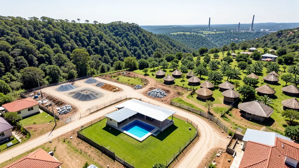
Compare pilots, licences and prices before anyone takes off. A free request for real estate drone photography in Mpumalanga goes to a drone photographer covering towns and cities across Mpumalanga, and you see the offers side by side.
Real Estate Drone Photography in Mpumalanga
Property drone photographers working around Mpumalanga shoot listings for agents, private sellers and developers, from suburban homes to farms and lifestyle estates. Local pilots know which estates need HOA permission and how the light falls on hillside and coastal stands, so ask for quotes from operators who work in Mpumalanga.
The main real estate drone photography page explains the types, the licences and the costs in more detail.
Mpumalanga notes on drone services
Operators here map timber compartments around Sabie, Graskop and Bushbuckridge, spray and scout orchards along the Crocodile River valley, and inspect conveyors, chimneys and substations near eMalahleni and Secunda. Lodges and guesthouses on the Panorama Route and near the Kruger gates book aerial video for their websites, but filming must stay outside park boundaries. Ask the operator how they deal with the restricted zones around power stations and the Secunda plant before agreeing a date.
Mpumalanga from the air
Mpumalanga changes sharply from west to east, and so does the drone work. On the Highveld around eMalahleni, Middelburg and Secunda, operators survey coal stockpiles and inspect conveyors, but power stations and the fuel plant at Secunda are national key points and off limits without permission. Down the escarpment, pine and gum plantations near Sabie and Graskop are mapped for forestry, and citrus and macadamia farms around Mbombela, White River and Hazyview want crop images and spraying. The Blyde River Canyon and Panorama Route draw content creators, yet Kruger National Park is a no-fly area. Kruger Mpumalanga International Airport sits near Mbombela. Expect Lowveld heat, misty escarpment mornings and summer storms.
The requests we see from Mpumalanga usually come from:
- Farmers and growers: farm and smallholding listings that show the land, the dams and the access roads
- Mines, plants and utilities: aerial sale or lease photos of warehouses, yards and industrial stands
- Photographers, film crews and agencies: listing content for property marketing agencies and real estate social media pages
Local tips for Mpumalanga
Drone suppliers for Mpumalanga mostly work like this: mbombela, White River, eMalahleni, Middelburg and Secunda. The requests that come up most: orchard spraying, forestry mapping and coal stockpile surveys. When you ask for quotes, ask about permissions near power stations and the Secunda plant.
Requests range widely: one house to a whole development. Here, farmers and growers lead the requests, typically for farm and smallholding listings that show the land, the dams and the access roads. One local point to raise: kruger Mpumalanga International near Mbombela; no flying in Kruger National Park.
Service area: Mpumalanga and surrounds
We pass Mpumalanga requests to suppliers and pilots based in or regularly working in Mbombela, eMalahleni, Middelburg, Secunda, White River, Hazyview, Ermelo. Rural sites should give the nearest town and the farm name, so travel is quoted honestly.