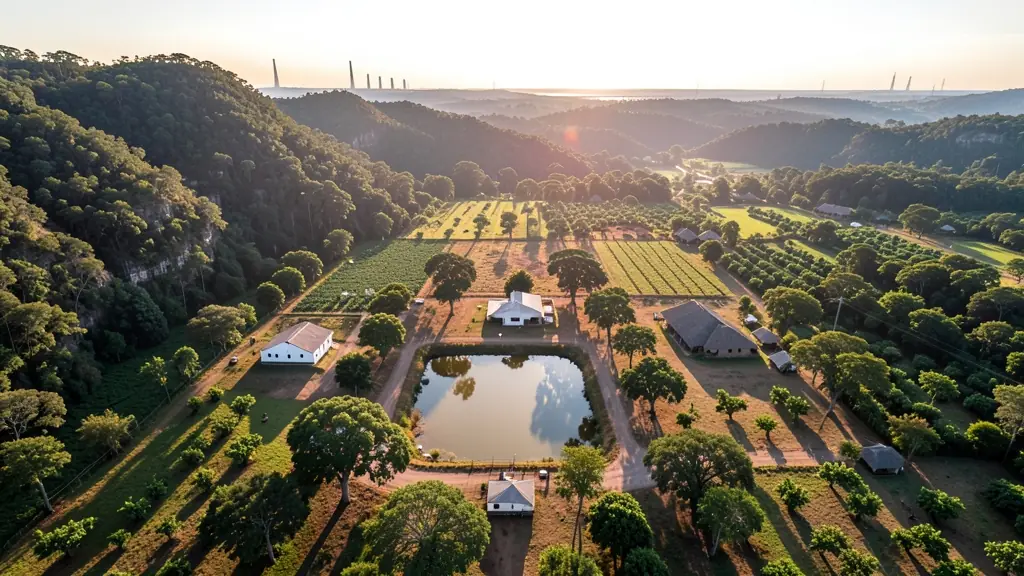
Need drone photography in Mpumalanga? CameraDrones.co.za puts farms, businesses, estate agents and event organisers in Mpumalanga in touch with licensed drone photographers working in towns and cities across Mpumalanga. Send one request and licensed operators quote you directly, free and with no obligation.
Drone Photography in Mpumalanga
Licensed drone photographers working in and around Mpumalanga shoot farms, lodges, venues, business premises and outdoor events. Local pilots know where the controlled airspace starts, which estates ask for written permission and when the wind usually drops, so ask for quotes from operators who regularly fly in Mpumalanga.
New to this? Read the drone photography guide for the choices and the questions worth asking before you pay.
Drone services in Mpumalanga: local notes
Operators here map timber compartments around Sabie, Graskop and Bushbuckridge, spray and scout orchards along the Crocodile River valley, and inspect conveyors, chimneys and substations near eMalahleni and Secunda. Lodges and guesthouses on the Panorama Route and near the Kruger gates book aerial video for their websites, but filming must stay outside park boundaries. Ask the operator how they deal with the restricted zones around power stations and the Secunda plant before agreeing a date.
Mpumalanga from the air
Mpumalanga changes sharply from west to east, and so does the drone work. On the Highveld around eMalahleni, Middelburg and Secunda, operators survey coal stockpiles and inspect conveyors, but power stations and the fuel plant at Secunda are national key points and off limits without permission. Down the escarpment, pine and gum plantations near Sabie and Graskop are mapped for forestry, and citrus and macadamia farms around Mbombela, White River and Hazyview want crop images and spraying. The Blyde River Canyon and Panorama Route draw content creators, yet Kruger National Park is a no-fly area. Kruger Mpumalanga International Airport sits near Mbombela. Expect Lowveld heat, misty escarpment mornings and summer storms.
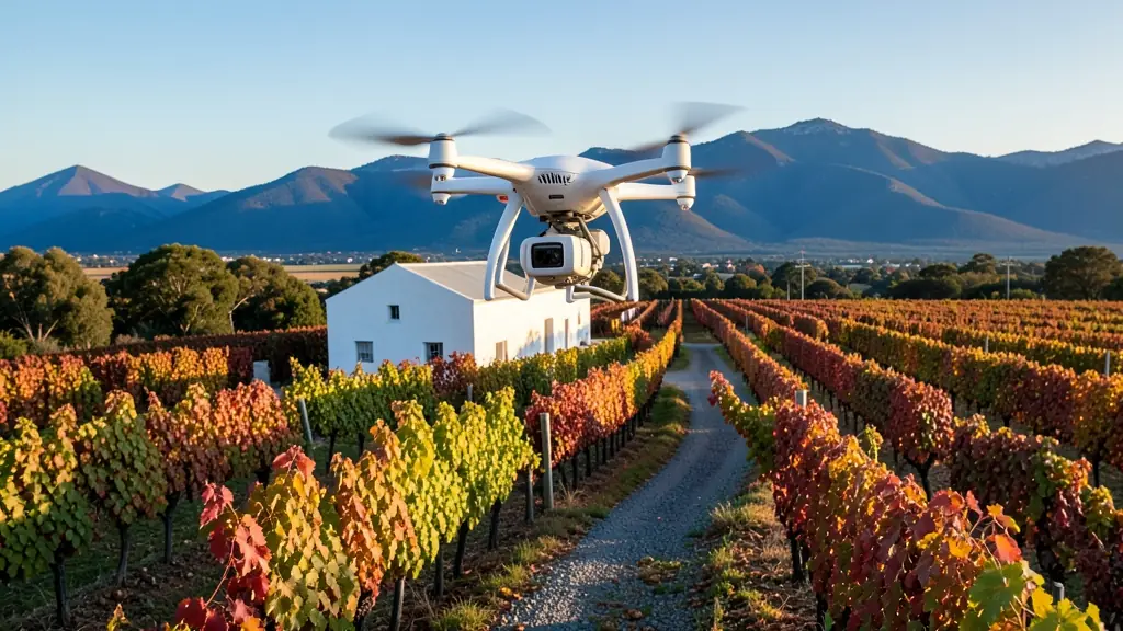
Who asks for drone photography around Mpumalanga, most often first:
- Farmers and growers: overview photos of orchards, dams, pivots and boundaries for records, sales or funding
- Mines, plants and utilities: roof, yard and plant photos for annual reports, insurance and site planning
- Photographers, film crews and agencies: establishing aerial stills for weddings, lodges, tourism campaigns and magazines
Local tips for Mpumalanga
Most asked for in Mpumalanga: orchard spraying, forestry mapping and coal stockpile surveys. Where suppliers and pilots work from: mbombela, White River, eMalahleni, Middelburg and Secunda. A useful tip: ask about permissions near power stations and the Secunda plant.
Drone Photography usually suit farms, venues, lodges, sites and events, done like this: licensed pilot flies, edits and delivers. For farmers and growers, the biggest group here, that usually means overview photos of orchards, dams, pivots and boundaries for records, sales or funding. On the weather side: hot humid Lowveld, misty escarpment and stormy summers: plan morning flights.
Service area: Mpumalanga and surrounds
Across Mpumalanga our network reaches Mbombela, eMalahleni, Middelburg, Secunda, White River, Hazyview, Ermelo and the towns between them. Outside the bigger centres, ask whether the pilot travels with spare batteries and a backup drone.