Compare pilots, licences and prices before anyone takes off. A free request for drone surveying and mapping in Middelburg goes to a drone surveyor covering Middelburg and nearby areas of Mpumalanga, and you see the offers side by side.
Drone Surveying and Mapping in Middelburg
Drone survey operators working around Middelburg map building sites, quarries, farms, roads and new developments. Local teams know the terrain, the bush cover and the airspace limits near airports, and many work with land surveyors in Mpumalanga, so ask for quotes from mapping operators who regularly fly here.
Want to know more first? Our drone surveying and mapping guide covers the options, the rules and what affects the price.
What to know locally in Middelburg
Service work around Middelburg includes spray runs on maize and soya near Hendrina, crop health maps for co-ops and grain buyers, and inspections of stacks and roofs at the steel plant and in the industrial area near Mhluzi. Estate agents sell farms toward Belfast and Stoffberg with aerial photos that show boundaries and dams. Ask the spraying operator which approvals they hold and which products they may apply.
Drones in Middelburg
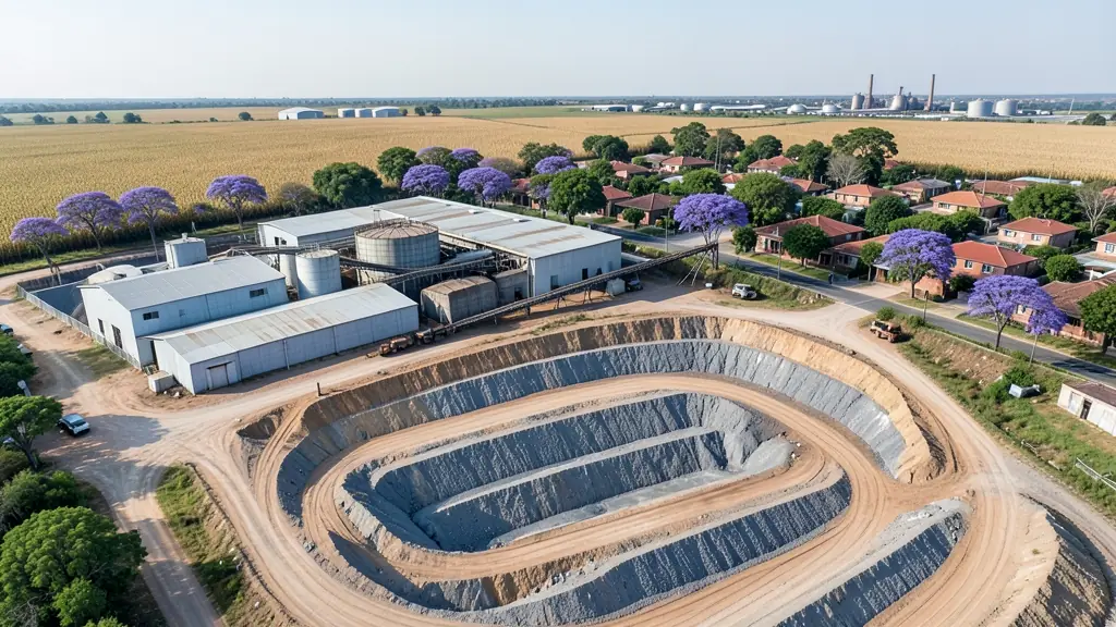
Middelburg is a steel and farming town on the eastern Highveld, and drone requests reflect both. A large stainless steel plant and the factories around it ask for roof, stack and yard inspections, while maize and soya farms toward Hendrina and Bethal want field mapping and crop health checks. Arnot and Hendrina power stations sit in the district, and like all power stations they are no-fly areas for private pilots. Middelburg Dam and the Olifants River valley toward Loskop Dam give hobby pilots open water and gorges to film. Frosty, very dry winters bring clear light but also grass fire smoke, and summer thunderstorms with hail build quickly over the flat farmland.

The requests we see from Middelburg usually come from:
- Farmers and growers: field boundaries, contours and drainage maps for planning lands, dams and roads
- Mines, plants and utilities: stockpile, pit and tailings volumes for mines, quarries and bulk storage yards
- Builders, engineers and installers: cut and fill, earthworks volumes and monthly progress maps on building sites
Local tips for Middelburg
Popular here: maize and soya field mapping, steel plant inspections and farm sale photos. Ask each supplier about this: ask the spray operator which approvals they hold and how they handle drift. Where they work from: middelburg town and Aerorand, with operators shared with eMalahleni.
Requests range widely: a few hectares to thousands of hectares. Here, farmers and growers lead the requests, typically for field boundaries, contours and drainage maps for planning lands, dams and roads. One local point to raise: arnot and Hendrina power stations are no-fly areas; Loskop is a protected reserve.
Service area: Middelburg and surrounds
Our network covers Middelburg together with Mhluzi, Eastdene, Aerorand, Kanonkop, Hendrina, Belfast, eMalahleni. A street address or a farm name helps a drone surveyor check the airspace before quoting.