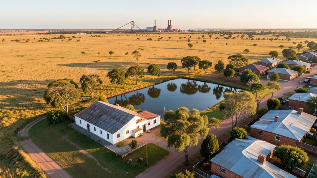
Need drone photography in eMalahleni (Witbank)? CameraDrones.co.za puts farms, businesses, estate agents and event organisers in eMalahleni in touch with licensed drone photographers working in eMalahleni (Witbank) and nearby areas of Mpumalanga. Send one request and licensed operators quote you directly, free and with no obligation.
Drone Photography in eMalahleni
Licensed drone photographers working in and around eMalahleni shoot farms, lodges, venues, business premises and outdoor events. Local pilots know where the controlled airspace starts, which estates ask for written permission and when the wind usually drops, so ask for quotes from operators who regularly fly in Mpumalanga.
The main drone photography page explains the types, the licences and the costs in more detail.
Drone services in eMalahleni: local notes
Operators in eMalahleni spend much of their week on mine sites around Kendal, Ogies and Kriel, running volume surveys, blast monitoring and rehabilitation mapping. Power line and substation inspections for contractors are common, but always away from the power stations themselves. In town, estate agents in Reyno Ridge and Model Park ask for property shoots, and developers want progress photos of new complexes. Ask how survey accuracy is checked on the ground.
What people fly for in eMalahleni
eMalahleni is the heart of South Africa's coal belt, and most drone work here is tied to mining and power. Operators measure stockpiles and pit volumes at open-cast collieries, inspect conveyors and haul roads, and map rehabilitation on old mine land. Eskom power stations such as Duvha and Kendal stand within reach of the town, with Kriel and Matla further south, and power stations are places to keep well clear of. Witbank Dam draws hobby pilots and anglers. Winter brings dry, smoky air and smog that flattens photos, while summer afternoons fill with Highveld thunderstorms and lightning. Mine safety rules mean operators usually need site inductions before they can fly.
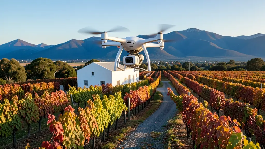
The requests we see from eMalahleni usually come from:
- Mines, plants and utilities: roof, yard and plant photos for annual reports, insurance and site planning
- Builders, engineers and installers: monthly progress photos taken from the same point to track a building site
- Security companies and estates: a clear aerial record of fences, gates and camera positions on a large site
Local tips for eMalahleni
Drone suppliers for eMalahleni mostly work like this: witbank town centre and the industrial areas, with Gauteng crews driving in. The requests that come up most: coal stockpile surveys, conveyor and plant inspections, mine rehabilitation maps. When you ask for quotes, ask whether the operator already has inductions for the mine you want surveyed.
Requests range widely: one building to a whole farm per shoot. Here, mines, plants and utilities lead the requests, typically for roof, yard and plant photos for annual reports, insurance and site planning. One local point to raise: eskom power stations nearby are no-fly areas; mines control their own sites.
Service area: eMalahleni and surrounds
Our network covers eMalahleni together with KwaGuqa, Ackerville, Kriel, Ogies, Clewer, Del Judor, Middelburg. A street address or a farm name helps a drone photographer check the airspace before quoting.