Compare pilots, licences and prices before anyone takes off. A free request for drone photography in Mbombela (Nelspruit) goes to a drone photographer covering Mbombela (Nelspruit) and nearby areas of Mpumalanga, and you see the offers side by side.
Drone Photography in Mbombela
Licensed drone photographers working in and around Mbombela shoot farms, lodges, venues, business premises and outdoor events. Local pilots know where the controlled airspace starts, which estates ask for written permission and when the wind usually drops, so ask for quotes from operators who regularly fly in Mpumalanga.
New to this? Read the drone photography guide for the choices and the questions worth asking before you pay.
Mbombela notes on drone services
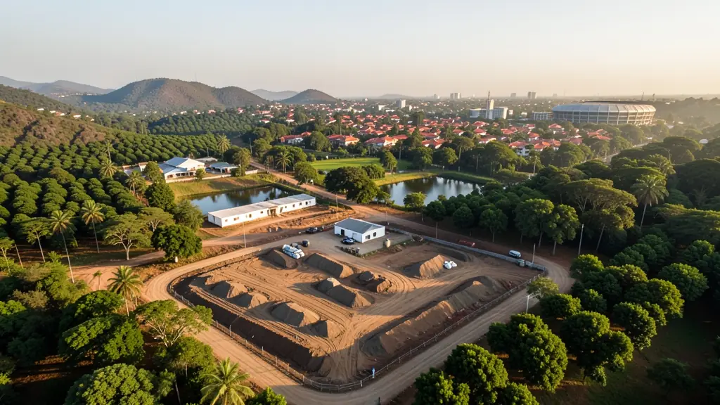
Operators around Mbombela fly spray and mapping runs in citrus and macadamia orchards near Karino and Schagen, count trees on new plantings and survey burnt timber stands near Sabie. Lodges and wedding venues in Hazyview and White River book video crews, filming outside reserve boundaries. Developers at Riverside and Rocky Drift ask for progress photos. Ask the spraying operator which approvals they hold and how they handle buffer zones near rivers.
Mbombela from the air
Mbombela is the Lowveld's main city, surrounded by citrus orchards, macadamia groves, banana farms and pine and gum plantations climbing toward Sabie and Graskop. Growers ask for orchard mapping, tree counts and spraying, and timber companies want fire damage and stand surveys. Kruger National Park lies to the east and is closed to drones without park permission, as are many private reserves near Hazyview. Kruger Mpumalanga International Airport sits north-east of the city, and the older Nelspruit airfield is close to town. Summers are hot, humid and stormy, which shortens battery life, and late winter brings smoke from burning firebreaks that can fill the valleys for days.
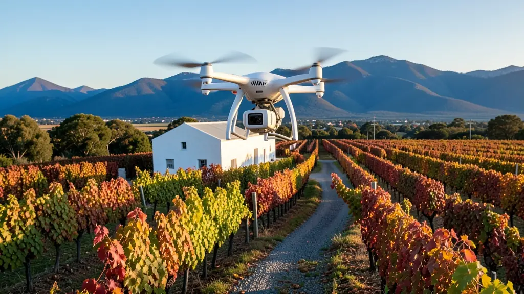
Typical drone photography requests in the area come from:
- Farmers and growers: overview photos of orchards, dams, pivots and boundaries for records, sales or funding
- Photographers, film crews and agencies: establishing aerial stills for weddings, lodges, tourism campaigns and magazines
- Estate agents and developers: photos of developments, complexes and commercial buildings for brochures and websites
Local tips for Mbombela
Drone suppliers for Mbombela mostly work like this: mbombela, White River and Hazyview, with crews working across the Lowveld. The requests that come up most: citrus and macadamia orchard mapping, lodge filming and timber surveys. When you ask for quotes, ask whether the lodge or reserve allows drones before booking a shoot there.
Drone Photography usually suit farms, venues, lodges, sites and events, done like this: licensed pilot flies, edits and delivers. For farmers and growers, the biggest group here, that usually means overview photos of orchards, dams, pivots and boundaries for records, sales or funding. On the weather side: hot humid summers sap batteries; late winter firebreak smoke fills the valleys.
Service area: Mbombela and surrounds
Requests from Mbombela go to shops and pilots who already work in White River, KaNyamazane, Matsulu, Barberton, Hazyview, Rocky Drift, Karino and the rest of the area. Mention an estate's rules or a nearby airfield, because they change how a flight is planned.