A good drone job starts with a clear brief. Describe yours once in a request for drone surveying and mapping in Northern Cape, with the site, the date and what you need back, and we pass it to drone surveying and mapping companies who fly in towns and cities across Northern Cape.
Drone Surveying and Mapping in Northern Cape
Drone survey operators working around Northern Cape map building sites, quarries, farms, roads and new developments. Local teams know the terrain, the bush cover and the airspace limits near airports, and many work with land surveyors in Northern Cape, so ask for quotes from mapping operators who regularly fly here.
New to this? Read the drone surveying and mapping guide for the choices and the questions worth asking before you pay.
What to know locally in Northern Cape
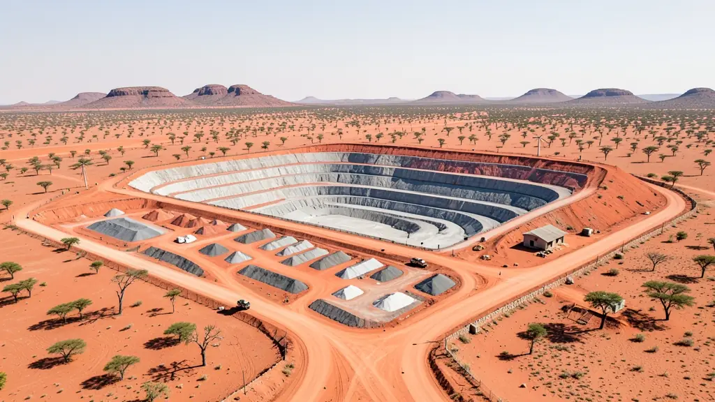
Operators here survey open pits at Sishen near Kathu and the manganese mines around Hotazel, inspect solar parks near Upington and Prieska, and photograph historic Kimberley around the Big Hole for tourism and heritage records. Wine and grape farms along the Orange River near Upington ask for vineyard mapping. Most operators travel from Kimberley or from out of province, so ask what travel and accommodation add, and whether the quote allows for a dust or wind delay.
Drones in Northern Cape
The Northern Cape is vast, dry and thinly populated, and many drone jobs here start with a long drive. Iron ore and manganese mines around Kathu, Postmasburg and Hotazel want stockpile volumes and pit surveys. Solar farms near Upington, De Aar and Prieska need panel inspections, often with thermal cameras. Vineyards and table grapes along the Orange River are mapped and scouted. Tourism content comes from the Namaqualand flower season and the Kalahari, but Augrabies Falls, Kgalagadi, Namaqua and Mokala national parks are off limits. Around Carnarvon, the radio astronomy area restricts transmitters, so check before flying there. Hot, dusty wind and fierce midday heat keep flying windows short.

Who asks for drone surveying and mapping around Northern Cape, most often first:
- Mines, plants and utilities: stockpile, pit and tailings volumes for mines, quarries and bulk storage yards
- Farmers and growers: field boundaries, contours and drainage maps for planning lands, dams and roads
- Builders, engineers and installers: cut and fill, earthworks volumes and monthly progress maps on building sites
Local tips for Northern Cape
Most asked for in Northern Cape: mine stockpile surveys, solar farm inspections and vineyard mapping. Where suppliers and pilots work from: kimberley, Upington and Kathu, with operators from Gauteng and Cape Town. A useful tip: ask what travel, accommodation and weather delays add to the quote.
Requests range widely: a few hectares to thousands of hectares. Here, mines, plants and utilities lead the requests, typically for stockpile, pit and tailings volumes for mines, quarries and bulk storage yards. One local point to raise: kimberley and Upington airports; Kgalagadi, Augrabies and radio astronomy limits.
Service area: Northern Cape and surrounds
We pass Northern Cape requests to suppliers and pilots based in or regularly working in Kimberley, Upington, Kathu, Kuruman, Springbok, De Aar, Postmasburg. Rural sites should give the nearest town and the farm name, so travel is quoted honestly.