Need real estate drone photography in Northern Cape? CameraDrones.co.za puts farms, businesses, estate agents and event organisers in Northern Cape in touch with property drone photographers working in towns and cities across Northern Cape. Send one request and licensed operators quote you directly, free and with no obligation.
Real Estate Drone Photography in Northern Cape
Property drone photographers working around Northern Cape shoot listings for agents, private sellers and developers, from suburban homes to farms and lifestyle estates. Local pilots know which estates need HOA permission and how the light falls on hillside and coastal stands, so ask for quotes from operators who work in Northern Cape.
New to this? Read the real estate drone photography guide for the choices and the questions worth asking before you pay.
What to know locally in Northern Cape
Operators here survey open pits at Sishen near Kathu and the manganese mines around Hotazel, inspect solar parks near Upington and Prieska, and photograph historic Kimberley around the Big Hole for tourism and heritage records. Wine and grape farms along the Orange River near Upington ask for vineyard mapping. Most operators travel from Kimberley or from out of province, so ask what travel and accommodation add, and whether the quote allows for a dust or wind delay.
Drones in Northern Cape
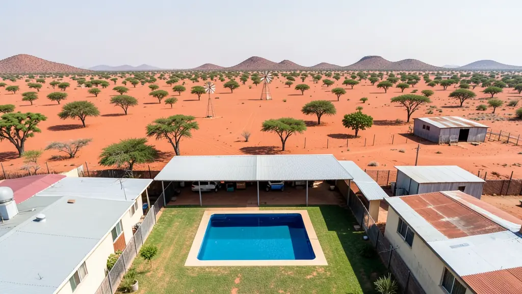
The Northern Cape is vast, dry and thinly populated, and many drone jobs here start with a long drive. Iron ore and manganese mines around Kathu, Postmasburg and Hotazel want stockpile volumes and pit surveys. Solar farms near Upington, De Aar and Prieska need panel inspections, often with thermal cameras. Vineyards and table grapes along the Orange River are mapped and scouted. Tourism content comes from the Namaqualand flower season and the Kalahari, but Augrabies Falls, Kgalagadi, Namaqua and Mokala national parks are off limits. Around Carnarvon, the radio astronomy area restricts transmitters, so check before flying there. Hot, dusty wind and fierce midday heat keep flying windows short.
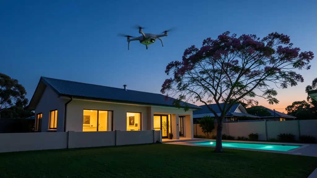
Who asks for real estate drone photography around Northern Cape, most often first:
- Mines, plants and utilities: aerial sale or lease photos of warehouses, yards and industrial stands
- Farmers and growers: farm and smallholding listings that show the land, the dams and the access roads
- Builders, engineers and installers: aerial marketing photos of new developments as show units and phases are completed
Local tips for Northern Cape
Popular here: mine stockpile surveys, solar farm inspections and vineyard mapping. Ask each supplier about this: ask what travel, accommodation and weather delays add to the quote. Where they work from: kimberley, Upington and Kathu, with operators from Gauteng and Cape Town.
Real Estate Drone Photography usually suit listings, developments, farms and estates, done like this: licensed pilot shoots and edits for portals. For mines, plants and utilities, the biggest group here, that usually means aerial sale or lease photos of warehouses, yards and industrial stands. On the weather side: extreme summer heat and dusty wind: early starts and cool battery storage.
Service area: Northern Cape and surrounds
Across Northern Cape our network reaches Kimberley, Upington, Kathu, Kuruman, Springbok, De Aar, Postmasburg and the towns between them. Outside the bigger centres, ask whether the pilot travels with spare batteries and a backup drone.