Compare pilots, licences and prices before anyone takes off. A free request for drone surveying and mapping in Kimberley goes to a drone surveyor covering Kimberley and nearby areas of Northern Cape, and you see the offers side by side.
Drone Surveying and Mapping in Kimberley
Drone survey operators working around Kimberley map building sites, quarries, farms, roads and new developments. Local teams know the terrain, the bush cover and the airspace limits near airports, and many work with land surveyors in Northern Cape, so ask for quotes from mapping operators who regularly fly here.
The main drone surveying and mapping page explains the types, the licences and the costs in more detail.
Drone services in Kimberley: local notes
Mining houses around Kimberley and along the Vaal River near Barkly West ask for stockpile volumes, slope monitoring and environmental surveys of old workings. Filming at the Big Hole needs permission from the site managers. Solar developers want site mapping across flat ground near Roodepan, and wedding crews in Galeshewe add aerials. Ask the operator what format the survey files come in and whether the volumes are checked against ground points.
Kimberley from the air
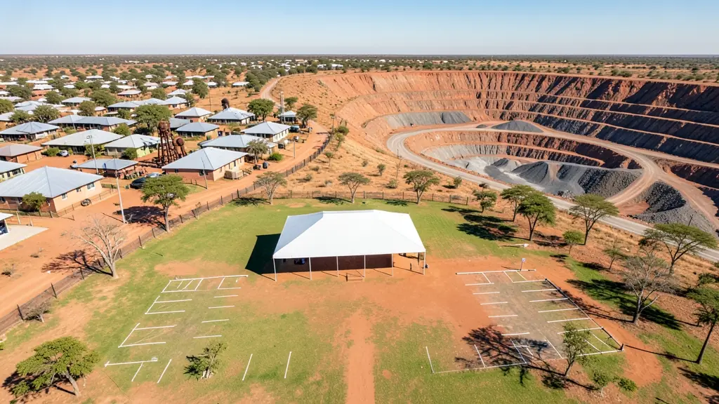
Kimberley grew from diamond mining, and its landscape still shows it. The Big Hole is a famous aerial subject, but flying over it and other mining sites needs permission. Active mines and tailings dumps ask for stockpile volumes, slope checks and environmental surveys, while the municipality and solar developers want mapping across wide, flat ground. Summers are hot, with dust and afternoon storms, and winters bring cold, clear mornings. Kimberley Airport sits south of town, so check airspace before flying there. Mokala National Park lies to the south-west and does not allow drones without permission. Many operators also cover Barkly West and the Vaal River diggings.

The requests we see from Kimberley usually come from:
- Mines, plants and utilities: stockpile, pit and tailings volumes for mines, quarries and bulk storage yards
- Municipalities, schools and NGOs: aerial mapping for municipal planning, informal settlement upgrades and roads
- Builders, engineers and installers: cut and fill, earthworks volumes and monthly progress maps on building sites
Local tips for Kimberley
Drone suppliers for Kimberley mostly work like this: a few local pilots and mine service firms; shops often in Bloemfontein. The requests that come up most: mine surveys, tailings and stockpile volumes, and heritage site filming. When you ask for quotes, ask whether the operator has flown on mine sites and holds site safety papers.
Drone Surveying and Mapping usually suit sites, mines, farms, roads and developments, done like this: grid flights processed into maps and models. For mines, plants and utilities, the biggest group here, that usually means stockpile, pit and tailings volumes for mines, quarries and bulk storage yards. On the weather side: hot, dusty summers with storms; cold, clear winter mornings.
Service area: Kimberley and surrounds
Requests from Kimberley go to shops and pilots who already work in Galeshewe, Roodepan, Ritchie, Barkly West, Hadison Park, Beaconsfield and the rest of the area. Mention an estate's rules or a nearby airfield, because they change how a flight is planned.