Compare pilots, licences and prices before anyone takes off. A free request for drone surveying and mapping in Upington goes to a drone surveyor covering Upington and nearby areas of Northern Cape, and you see the offers side by side.
Drone Surveying and Mapping in Upington
Drone survey operators working around Upington map building sites, quarries, farms, roads and new developments. Local teams know the terrain, the bush cover and the airspace limits near airports, and many work with land surveyors in Northern Cape, so ask for quotes from mapping operators who regularly fly here.
New to this? Read the drone surveying and mapping guide for the choices and the questions worth asking before you pay.
Drone services in Upington: local notes
Grape farms around Kakamas and Kanoneiland ask for irrigation and canopy mapping, and solar plants want thermal inspections of panel rows. River tour and canoe operators along the Orange River want promotional clips, and the town council asks for mapping of new housing in Paballelo. Ask the operator whether their quote includes travel from Kimberley or the Cape, how they manage flights in extreme heat, and whether they can fly at first light.
Upington from the air
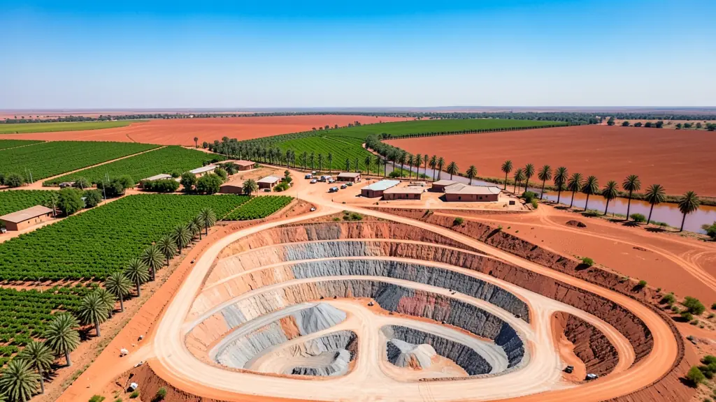
Upington stretches along the Orange River, where a narrow green ribbon of grape vineyards and date palms runs through red Kalahari sand. Drone work follows that contrast: table grape and raisin farms ask for irrigation and canopy mapping, solar plants in the region want panel inspections, and tourism operators film river trips and the desert. Augrabies Falls National Park lies downstream near Kakamas and needs permission for drones. Summer heat is extreme, shortening flight time and stressing batteries, and dust storms can blow up fast. Upington International Airport sits close to town, so check airspace before flying. Many operators come from Kimberley or the Western Cape.

Who asks for drone surveying and mapping around Upington, most often first:
- Farmers and growers: field boundaries, contours and drainage maps for planning lands, dams and roads
- Mines, plants and utilities: stockpile, pit and tailings volumes for mines, quarries and bulk storage yards
- Photographers, film crews and agencies: accurate 3D models of landscapes and sites used in visualisation and planning
Local tips for Upington
Drone suppliers for Upington mostly work like this: a few local pilots; larger operators travel from Kimberley or the Cape. The requests that come up most: vineyard mapping, solar plant inspections and river tourism filming. When you ask for quotes, ask whether the operator includes travel costs and plans for extreme heat.
Around Upington the largest group asking is farmers and growers, which usually means field boundaries, contours and drainage maps for planning lands, dams and roads. Before anything flies: rPL and ROC; boundaries need a land surveyor. Keep in mind: upington International Airport is close to town; Augrabies needs permission.
Service area: Upington and surrounds
Our network covers Upington together with Keimoes, Kakamas, Paballelo, Louisvale, Groblershoop, Kanoneiland. A street address or a farm name helps a drone surveyor check the airspace before quoting.