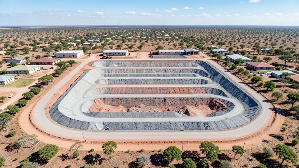
A good drone job starts with a clear brief. Describe yours once in a request for drone surveying and mapping in Mahikeng, with the site, the date and what you need back, and we pass it to drone surveying and mapping companies who fly in Mahikeng and nearby areas of North West.
Drone Surveying and Mapping in Mahikeng
Drone survey operators working around Mahikeng map building sites, quarries, farms, roads and new developments. Local teams know the terrain, the bush cover and the airspace limits near airports, and many work with land surveyors in North West, so ask for quotes from mapping operators who regularly fly here.
New to this? Read the drone surveying and mapping guide for the choices and the questions worth asking before you pay.
Mahikeng notes on drone services
Public works teams ask for mapping of new roads and housing in Mmabatho and Lomanyaneng, and farmers near Ottoshoop and Zeerust want crop and fence surveys. Wildlife filming in the Mahikeng Game Reserve needs permission from the reserve. Ask the operator whether they have worked for government before and whether their quote includes travel from Gauteng.
Mahikeng from the air
Mahikeng and Mmabatho form the seat of the North West provincial government, so a fair share of drone work comes from public projects: mapping roads, housing and municipal land. Maize and cattle farms around Lichtenburg and Zeerust ask for crop and stock surveys, and the Mahikeng Game Reserve draws wildlife and tourism filming, which needs permission. Summer thunderstorms build quickly on the flat bushveld plain, with lightning and strong gusts, while winter days are dry, clear and cold. Mahikeng Airport lies close to town, so check airspace before flying. Few specialists live here, so many operators drive in from Gauteng or Rustenburg.

Typical drone surveying and mapping requests in the area come from:
- Municipalities, schools and NGOs: aerial mapping for municipal planning, informal settlement upgrades and roads
- Farmers and growers: field boundaries, contours and drainage maps for planning lands, dams and roads
- Builders, engineers and installers: cut and fill, earthworks volumes and monthly progress maps on building sites
Local tips for Mahikeng
Most asked for in Mahikeng: mapping for government projects, farm surveys and game reserve filming. Where suppliers and pilots work from: a few local pilots; most operators and shops are in Gauteng or Rustenburg. A useful tip: ask whether the quote includes travel from Gauteng and any reserve permits.
Requests range widely: a few hectares to thousands of hectares. Here, municipalities, schools and NGOs lead the requests, typically for aerial mapping for municipal planning, informal settlement upgrades and roads. One local point to raise: mahikeng Airport is close to town; the game reserve needs permission.
Service area: Mahikeng and surrounds
Suppliers and operators on our network work in Mahikeng and surrounding areas, including Mmabatho, Montshiwa, Lomanyaneng, Lichtenburg, Zeerust, Ottoshoop. Give the suburb, farm or site so the quote can include travel, delivery and any airspace approval.