A good drone job starts with a clear brief. Describe yours once in a request for drone surveying and mapping in North West, with the site, the date and what you need back, and we pass it to drone surveying and mapping companies who fly in towns and cities across North West.
Drone Surveying and Mapping in North West
Drone survey operators working around North West map building sites, quarries, farms, roads and new developments. Local teams know the terrain, the bush cover and the airspace limits near airports, and many work with land surveyors in North West, so ask for quotes from mapping operators who regularly fly here.
Want to know more first? Our drone surveying and mapping guide covers the options, the rules and what affects the price.
North West notes on drone services
Licensed operators in North West survey pits and dumps at the platinum mines around Rustenburg and Marikana, inspect centre pivots and silos on farms near Klerksdorp and Wolmaransstad, and film estates and lodges around Hartbeespoort and the Magaliesberg. Wedding videographers work venues along the dam shore. Ask whether a quote includes travel from Gauteng and a backup day if wind or storms stop the flight, and check the pilot knows the Lanseria zone.
What people fly for in North West
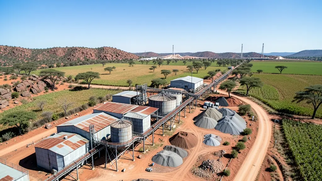
North West is platinum, maize and bushveld country, and drone work follows that mix. Around Rustenburg and Brits, operators survey open pits, waste rock dumps and tailings for platinum and chrome mines, while maize and sunflower farms near Lichtenburg, Klerksdorp and Vryburg want crop scouting and field mapping. Hartbeespoort Dam and the Magaliesberg attract weekend pilots and content creators, but Lanseria is close by and Pilanesberg National Park is off limits. Mahikeng and Pilanesberg airports add their own zones. Summers are hot, with storms building in the afternoons, and dry winter winds lift dust off ploughed land. Most operators travel from Rustenburg, Potchefstroom or Gauteng.

Typical drone surveying and mapping requests in the area come from:
- Mines, plants and utilities: stockpile, pit and tailings volumes for mines, quarries and bulk storage yards
- Farmers and growers: field boundaries, contours and drainage maps for planning lands, dams and roads
- Hobbyists and families: a measured aerial map of a smallholding before building, fencing or subdividing
Local tips for North West
Popular here: mine surveys, maize crop scouting and dam-side event footage. Ask each supplier about this: ask if the quote covers travel and a weather backup day. Where they work from: rustenburg, Potchefstroom and Klerksdorp, with many operators from Gauteng.
Requests range widely: a few hectares to thousands of hectares. Here, mines, plants and utilities lead the requests, typically for stockpile, pit and tailings volumes for mines, quarries and bulk storage yards. One local point to raise: lanseria near Hartbeespoort; Pilanesberg National Park and Mahikeng airport zones.
Service area: North West and surrounds
We pass North West requests to suppliers and pilots based in or regularly working in Rustenburg, Mahikeng, Potchefstroom, Klerksdorp, Brits, Hartbeespoort, Lichtenburg. Rural sites should give the nearest town and the farm name, so travel is quoted honestly.