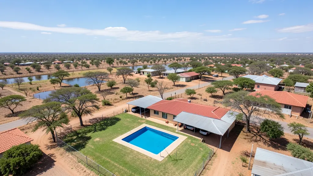
Need real estate drone photography in Mahikeng? CameraDrones.co.za puts farms, businesses, estate agents and event organisers in Mahikeng in touch with property drone photographers working in Mahikeng and nearby areas of North West. Send one request and licensed operators quote you directly, free and with no obligation.
Real Estate Drone Photography in Mahikeng
Property drone photographers working around Mahikeng shoot listings for agents, private sellers and developers, from suburban homes to farms and lifestyle estates. Local pilots know which estates need HOA permission and how the light falls on hillside and coastal stands, so ask for quotes from operators who work in North West.
Want to know more first? Our real estate drone photography guide covers the options, the rules and what affects the price.
What to know locally in Mahikeng
Public works teams ask for mapping of new roads and housing in Mmabatho and Lomanyaneng, and farmers near Ottoshoop and Zeerust want crop and fence surveys. Wildlife filming in the Mahikeng Game Reserve needs permission from the reserve. Ask the operator whether they have worked for government before and whether their quote includes travel from Gauteng.
What people fly for in Mahikeng
Mahikeng and Mmabatho form the seat of the North West provincial government, so a fair share of drone work comes from public projects: mapping roads, housing and municipal land. Maize and cattle farms around Lichtenburg and Zeerust ask for crop and stock surveys, and the Mahikeng Game Reserve draws wildlife and tourism filming, which needs permission. Summer thunderstorms build quickly on the flat bushveld plain, with lightning and strong gusts, while winter days are dry, clear and cold. Mahikeng Airport lies close to town, so check airspace before flying. Few specialists live here, so many operators drive in from Gauteng or Rustenburg.
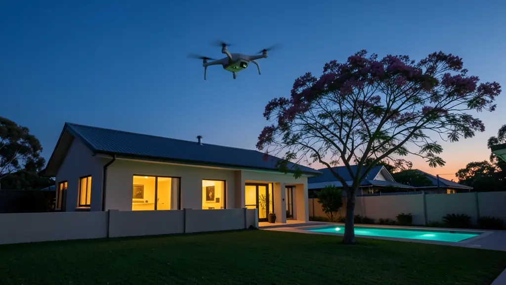
Typical real estate drone photography requests in the area come from:
- Municipalities, schools and NGOs: aerial photos of municipal land and buildings offered for sale or long lease
- Farmers and growers: farm and smallholding listings that show the land, the dams and the access roads
- Builders, engineers and installers: aerial marketing photos of new developments as show units and phases are completed
Local tips for Mahikeng
Drone suppliers for Mahikeng mostly work like this: a few local pilots; most operators and shops are in Gauteng or Rustenburg. The requests that come up most: mapping for government projects, farm surveys and game reserve filming. When you ask for quotes, ask whether the quote includes travel from Gauteng and any reserve permits.
Requests range widely: one house to a whole development. Here, municipalities, schools and NGOs lead the requests, typically for aerial photos of municipal land and buildings offered for sale or long lease. One local point to raise: mahikeng Airport is close to town; the game reserve needs permission.
Service area: Mahikeng and surrounds
Our network covers Mahikeng together with Mmabatho, Montshiwa, Lomanyaneng, Lichtenburg, Zeerust, Ottoshoop. A street address or a farm name helps a drone photographer check the airspace before quoting.