Compare pilots, licences and prices before anyone takes off. A free request for drone surveying and mapping in Rustenburg goes to a drone surveyor covering Rustenburg and nearby areas of North West, and you see the offers side by side.
Drone Surveying and Mapping in Rustenburg
Drone survey operators working around Rustenburg map building sites, quarries, farms, roads and new developments. Local teams know the terrain, the bush cover and the airspace limits near airports, and many work with land surveyors in North West, so ask for quotes from mapping operators who regularly fly here.
The main drone surveying and mapping page explains the types, the licences and the costs in more detail.
Drone services in Rustenburg: local notes
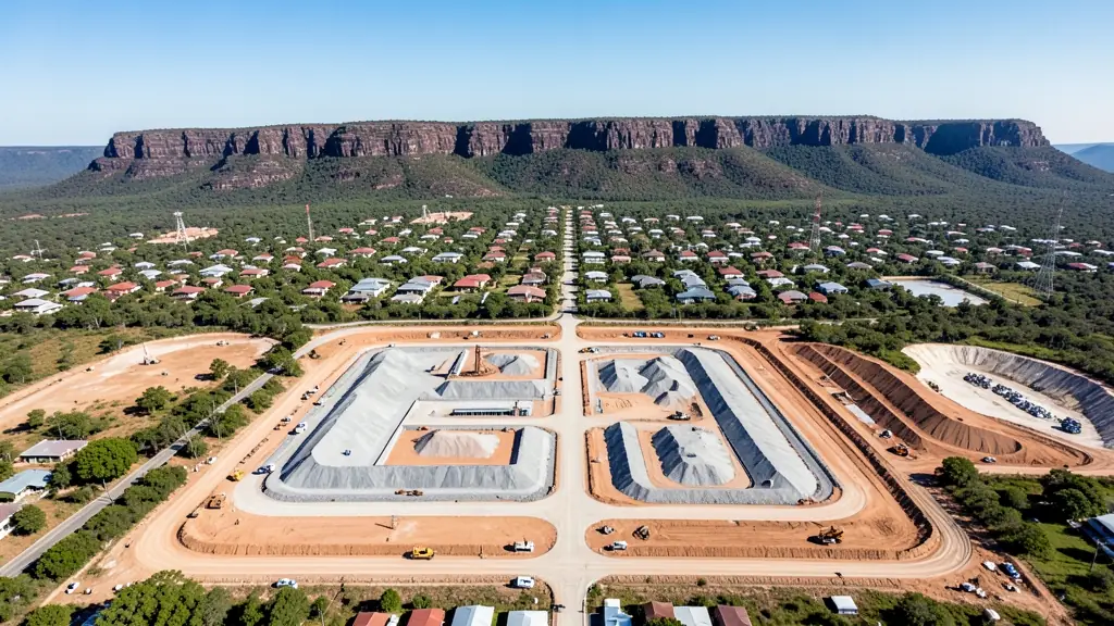
Service work in Rustenburg is dominated by the mines: tailings dam monitoring at Marikana and Mooinooi, volume surveys of stockpiles, and inspections of headgear and conveyors. Security firms run drone patrols over mine perimeters and cable routes. Farmers near Kroondal and Bospoort Dam book spraying and orchard mapping. Estate agents in Waterfall East and Cashan ask for property shoots. Ask how the data is delivered and whether the mine's survey team can use it.
Drones in Rustenburg
Rustenburg is platinum country, and drone work follows the mines along the foot of the Magaliesberg. Operators survey tailings dams and waste rock dumps, inspect headgear, smelter roofs and conveyors, and map new shafts and housing projects. Citrus and vegetable farms near Kroondal and Bospoort Dam add spraying and mapping jobs. Pilanesberg National Park lies to the north and Kgaswane Mountain Reserve sits against the ridge above town, both protected areas where recreational drones are not welcome. Pilanesberg International Airport and Rustenburg's own airfield also limit flying. Summers are hot with violent hail storms, while dry winters bring dust from mine roads and fires on the hills.

Who asks for drone surveying and mapping around Rustenburg, most often first:
- Mines, plants and utilities: stockpile, pit and tailings volumes for mines, quarries and bulk storage yards
- Builders, engineers and installers: cut and fill, earthworks volumes and monthly progress maps on building sites
- Security companies and estates: up-to-date aerial maps of large sites for planning fences, gates and patrol routes
Local tips for Rustenburg
Popular here: tailings and mine surveys, plant inspections and security patrols for mines. Ask each supplier about this: ask whether the operator has mine inductions and an ROC that covers the work. Where they work from: rustenburg centre and the Waterfall area, with mine contractors across the belt.
Drone Surveying and Mapping usually suit sites, mines, farms, roads and developments, done like this: grid flights processed into maps and models. For mines, plants and utilities, the biggest group here, that usually means stockpile, pit and tailings volumes for mines, quarries and bulk storage yards. On the weather side: hot summers with hailstorms; dusty dry winters and veld fires on the ridge.
Service area: Rustenburg and surrounds
Our network covers Rustenburg together with Phokeng, Boitekong, Tlhabane, Marikana, Kroondal, Mooinooi, Safari Gardens. A street address or a farm name helps a drone surveyor check the airspace before quoting.