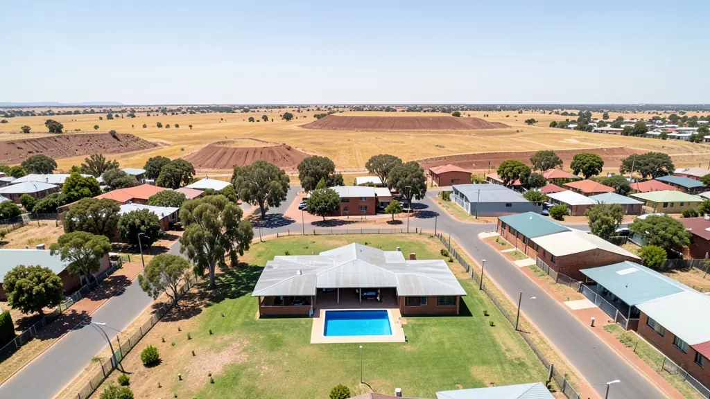
A good drone job starts with a clear brief. Describe yours once in a request for real estate drone photography in Klerksdorp, with the site, the date and what you need back, and we pass it to property drone photographers who fly in Klerksdorp and nearby areas of North West.
Real Estate Drone Photography in Klerksdorp
Property drone photographers working around Klerksdorp shoot listings for agents, private sellers and developers, from suburban homes to farms and lifestyle estates. Local pilots know which estates need HOA permission and how the light falls on hillside and coastal stands, so ask for quotes from operators who work in North West.
New to this? Read the real estate drone photography guide for the choices and the questions worth asking before you pay.
Klerksdorp notes on drone services
Service work around Klerksdorp includes volume and stability surveys of tailings dams near Orkney and Stilfontein, inspections of old headgear, and maize and sunflower mapping on farms toward Hartbeesfontein. Spraying is booked between the summer rains. Estate agents in Wilkoppies and Doringkruin ask for property shoots, and engineers request road and stormwater mapping. Ask whether the survey report shows volumes and the change since the last flight.
Drones in Klerksdorp
Klerksdorp is a goldfields city, and old mining shapes the land around it. Drone operators are asked to survey tailings dams and mine dumps near Stilfontein and Orkney, inspect shaft headgear, and map land for rehabilitation or reprocessing. Further out, maize and sunflower farms around Hartbeesfontein and Ottosdal ask for crop mapping and spraying. The Vaal River runs past Orkney and draws anglers and filmers. Klerksdorp's own airport, PC Pelser, lies close to the city and limits flying over parts of town. Winters are cold, dry and dusty, with wind lifting fine grit off the dumps, and summer storms arrive fast with hail and lightning.
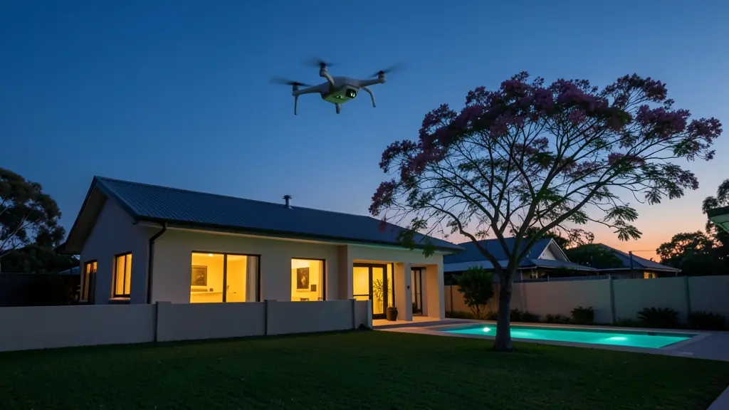
Typical real estate drone photography requests in the area come from:
- Mines, plants and utilities: aerial sale or lease photos of warehouses, yards and industrial stands
- Farmers and growers: farm and smallholding listings that show the land, the dams and the access roads
- Builders, engineers and installers: aerial marketing photos of new developments as show units and phases are completed
Local tips for Klerksdorp
Popular here: tailings and mine dump surveys, maize and sunflower mapping, property photos. Ask each supplier about this: ask whether repeat surveys are priced lower than the first one. Where they work from: klerksdorp centre, Flamwood and Wilkoppies, also serving Orkney and Stilfontein.
Around Klerksdorp the largest group asking is mines, plants and utilities, which usually means aerial sale or lease photos of warehouses, yards and industrial stands. Before anything flies: agent photos are commercial: RPL and ROC. Keep in mind: pC Pelser Airport is close to the city; mine sites need the owner's permission.
Service area: Klerksdorp and surrounds
Our network covers Klerksdorp together with Stilfontein, Orkney, Jouberton, Alabama, Kanana, Hartbeesfontein, Flamwood. A street address or a farm name helps a drone photographer check the airspace before quoting.