A good drone job starts with a clear brief. Describe yours once in a request for drone surveying and mapping in Worcester, with the site, the date and what you need back, and we pass it to drone surveying and mapping companies who fly in Worcester and nearby areas of Western Cape.
Drone Surveying and Mapping in Worcester
Drone survey operators working around Worcester map building sites, quarries, farms, roads and new developments. Local teams know the terrain, the bush cover and the airspace limits near airports, and many work with land surveyors in Western Cape, so ask for quotes from mapping operators who regularly fly here.
Want to know more first? Our drone surveying and mapping guide covers the options, the rules and what affects the price.
Drone services in Worcester: local notes
Table grape farms in the Hex River Valley ask for mapping to check irrigation, frost damage and canopy across blocks. Cellars in Rawsonville and Robertson want promotional footage of their vineyards. Spray work is quoted per hectare and depends on approvals and product registration. Ask the operator how they handle wind drift near homes in Zwelethemba and Avian Park.
What people fly for in Worcester
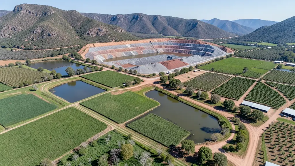
Worcester sits in the Breede River valley, the start of a long belt of vineyards, orchards and table grape farms. Most drone work here is agricultural: mapping irrigation blocks, checking frost damage, scouting pests and, where approved, spraying steep or wet blocks. Packhouses and wine cellars ask for roof inspections and promotional footage. The Hex River Mountains make a fine backdrop, but summer heat in the valley shortens flight time, and winter brings cold, still mornings with frost and fog. The area has some open airspace, but check for local airfields and gliding activity. Buyers include farmers, co-ops and contractors from Rawsonville to De Doorns.

Who asks for drone surveying and mapping around Worcester, most often first:
- Farmers and growers: field boundaries, contours and drainage maps for planning lands, dams and roads
- Mines, plants and utilities: stockpile, pit and tailings volumes for mines, quarries and bulk storage yards
- Builders, engineers and installers: cut and fill, earthworks volumes and monthly progress maps on building sites
Local tips for Worcester
Popular here: mapping and scouting for vineyards, orchards and table grape farms. Ask each supplier about this: ask whether travel to your farm is included and how drift is controlled. Where they work from: local pilots and farm service firms; shops and repairs often in Cape Town.
Around Worcester the largest group asking is farmers and growers, which usually means field boundaries, contours and drainage maps for planning lands, dams and roads. Before anything flies: rPL and ROC; boundaries need a land surveyor. Keep in mind: mostly farmland, but check for local airfields and gliding near town.
Service area: Worcester and surrounds
Our network covers Worcester together with Rawsonville, De Doorns, Zwelethemba, Avian Park, Robertson, Wolseley. A street address or a farm name helps a drone surveyor check the airspace before quoting.