Need drone surveying and mapping in Paarl? CameraDrones.co.za puts farms, businesses, estate agents and event organisers in Paarl in touch with drone surveying and mapping companies working in Paarl and nearby areas of Western Cape. Send one request and licensed operators quote you directly, free and with no obligation.
Drone Surveying and Mapping in Paarl
Drone survey operators working around Paarl map building sites, quarries, farms, roads and new developments. Local teams know the terrain, the bush cover and the airspace limits near airports, and many work with land surveyors in Western Cape, so ask for quotes from mapping operators who regularly fly here.
New to this? Read the drone surveying and mapping guide for the choices and the questions worth asking before you pay.
Drone services in Paarl: local notes
Wine estates near Franschhoek and Simondium book drone videography for harvest days, weddings and marketing clips. Vineyard owners on the Berg River ask for mapping to see vigour and water stress across blocks. Spray work is quoted per hectare and needs approved products. Ask the operator which approvals they hold for spraying, and how they keep drift away from neighbouring blocks and homes in Mbekweni.
What people fly for in Paarl
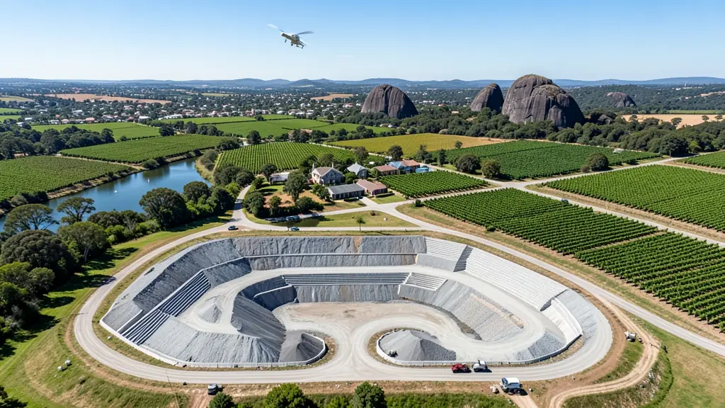
Paarl sits among vineyards and fruit farms in the Berg River valley, so much of its drone work is agricultural or wine tourism. Farms ask for vineyard mapping, plant health surveys and, where approved, spray drone work on steep blocks that tractors find hard. Wine estates want aerial footage for tasting rooms, weddings and harvest events. The granite domes of Paarl Mountain make a popular backdrop, but parts of the mountain are a nature reserve, so check before flying. Summers are hot and dry with afternoon wind, and winter rain brings low cloud. Buyers include farm managers, wedding photographers and hobbyists in Wellington and Mbekweni.

Who asks for drone surveying and mapping around Paarl, most often first:
- Farmers and growers: field boundaries, contours and drainage maps for planning lands, dams and roads
- Photographers, film crews and agencies: accurate 3D models of landscapes and sites used in visualisation and planning
- Hobbyists and families: a measured aerial map of a smallholding before building, fencing or subdividing
Local tips for Paarl
Most asked for in Paarl: vineyard mapping, wine estate footage and spray work on steep farm blocks. Where suppliers and pilots work from: local pilots in Paarl and Wellington; shops and operators from the northern suburbs. A useful tip: ask which approvals the operator holds for spraying near homes and rivers.
Around Paarl the largest group asking is farmers and growers, which usually means field boundaries, contours and drainage maps for planning lands, dams and roads. Before anything flies: rPL and ROC; boundaries need a land surveyor. Keep in mind: mostly open farmland, but Paarl Mountain reserve and nearby airfields need checks.
Service area: Paarl and surrounds
Suppliers and operators on our network work in Paarl and surrounding areas, including Wellington, Mbekweni, Klapmuts, Simondium, Franschhoek, Dal Josafat, Groot Drakenstein. Give the suburb, farm or site so the quote can include travel, delivery and any airspace approval.