A good drone job starts with a clear brief. Describe yours once in a request for drone surveying and mapping in Stellenbosch, with the site, the date and what you need back, and we pass it to drone surveying and mapping companies who fly in Stellenbosch and nearby areas of Western Cape.
Drone Surveying and Mapping in Stellenbosch
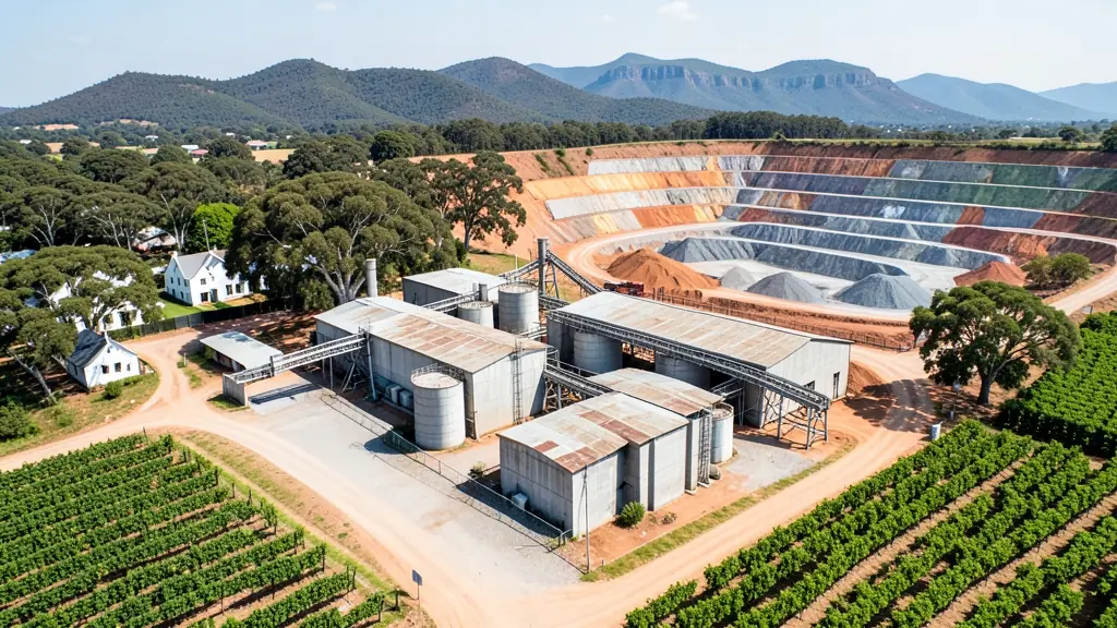
Drone survey operators working around Stellenbosch map building sites, quarries, farms, roads and new developments. Local teams know the terrain, the bush cover and the airspace limits near airports, and many work with land surveyors in Western Cape, so ask for quotes from mapping operators who regularly fly here.
Want to know more first? Our drone surveying and mapping guide covers the options, the rules and what affects the price.
Stellenbosch notes on drone services
Wine estates on the Helshoogte Pass and around Jamestown commission aerial footage for tourism and export marketing. Developers in Technopark and Somerset West want progress maps and launch videos. Vineyard managers ask for mapping that shows vigour across blocks. Because the airfield and reserves are nearby, ask the operator to explain where they can and cannot fly before the shoot.
Stellenbosch from the air
Stellenbosch blends a university town with some of the best known wine country in South Africa, and drone requests reflect both. Students and researchers fly for projects in engineering and agriculture, tech companies at Technopark test new ideas, and wine estates commission aerial footage of vineyards against the Simonsberg and Jonkershoek peaks. Property developers on the edges of town want marketing aerials and progress maps. Jonkershoek is a nature reserve, so check before flying there. Mountain valleys can bring sudden gusts, and summer afternoons are often windy. Stellenbosch Airfield lies south of town, which limits flying in that direction.

Who asks for drone surveying and mapping around Stellenbosch, most often first:
- Farmers and growers: field boundaries, contours and drainage maps for planning lands, dams and roads
- Photographers, film crews and agencies: accurate 3D models of landscapes and sites used in visualisation and planning
- Estate agents and developers: site plans and 3D models for developers before design and during marketing
Local tips for Stellenbosch
Drone suppliers for Stellenbosch mostly work like this: pilots and studios in town and Technopark; shops in Somerset West and Bellville. The requests that come up most: wine estate footage, research flights and property marketing aerials. When you ask for quotes, ask whether the shoot plan keeps clear of Stellenbosch Airfield and Jonkershoek.
Drone Surveying and Mapping usually suit sites, mines, farms, roads and developments, done like this: grid flights processed into maps and models. For farmers and growers, the biggest group here, that usually means field boundaries, contours and drainage maps for planning lands, dams and roads. On the weather side: valley gusts and windy summer afternoons; mornings are usually calmer.
Service area: Stellenbosch and surrounds
Suppliers and operators on our network work in Stellenbosch and surrounding areas, including Kayamandi, Idas Valley, Cloetesville, Technopark, Somerset West, Jamestown, Franschhoek. Give the suburb, farm or site so the quote can include travel, delivery and any airspace approval.