Compare pilots, licences and prices before anyone takes off. A free request for drone surveying and mapping in Tzaneen goes to a drone surveyor covering Tzaneen and nearby areas of Limpopo, and you see the offers side by side.
Drone Surveying and Mapping in Tzaneen
Drone survey operators working around Tzaneen map building sites, quarries, farms, roads and new developments. Local teams know the terrain, the bush cover and the airspace limits near airports, and many work with land surveyors in Limpopo, so ask for quotes from mapping operators who regularly fly here.
The main drone surveying and mapping page explains the types, the licences and the costs in more detail.
What to know locally in Tzaneen
Citrus and avocado farms around Letsitele ask for tree counts, canopy mapping and irrigation checks. Spray work on steep slopes near Duiwelskloof is quoted per hectare and needs approvals. Lodges and tea estate venues in Magoebaskloof want promotional videos that show the forests and dams. Packhouses near Nkowankowa ask for roof checks. Ask the operator which approvals they hold for spraying, and how they keep drift away from homes and from streams that feed Tzaneen Dam.
Tzaneen from the air
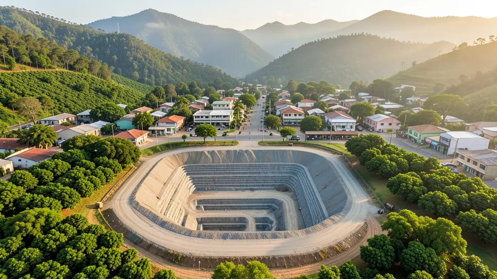
Tzaneen sits in a green, subtropical valley surrounded by citrus, mango, avocado and macadamia farms, and much of its drone work serves agriculture. Growers ask for orchard mapping, tree counts, irrigation checks and, where approved, spraying on steep slopes. Lodges and guesthouses in Magoebaskloof and Haenertsburg want promotional aerials of forests, tea estates and dams. Summer brings heat, humidity and heavy afternoon storms, while the mountains often hold mist in the mornings. Small airfields in the area may need checking. Buyers are mostly farmers, packhouses and tourism businesses, with operators travelling from Polokwane for larger jobs.

Who asks for drone surveying and mapping around Tzaneen, most often first:
- Farmers and growers: field boundaries, contours and drainage maps for planning lands, dams and roads
- Photographers, film crews and agencies: accurate 3D models of landscapes and sites used in visualisation and planning
- Hobbyists and families: a measured aerial map of a smallholding before building, fencing or subdividing
Local tips for Tzaneen
Popular here: orchard mapping, tree counts and spraying on citrus, mango and avocado farms. Ask each supplier about this: ask which approvals the operator holds for spraying near rivers and homes. Where they work from: local farm service pilots; shops and larger operators in Polokwane.
Drone Surveying and Mapping usually suit sites, mines, farms, roads and developments, done like this: grid flights processed into maps and models. For farmers and growers, the biggest group here, that usually means field boundaries, contours and drainage maps for planning lands, dams and roads. On the weather side: humid summers with heavy afternoon storms; morning mist on the mountains.
Service area: Tzaneen and surrounds
Suppliers and operators on our network work in Tzaneen and surrounding areas, including Nkowankowa, Lenyenye, Letsitele, Haenertsburg, Magoebaskloof, Duiwelskloof, Politsi. Give the suburb, farm or site so the quote can include travel, delivery and any airspace approval.