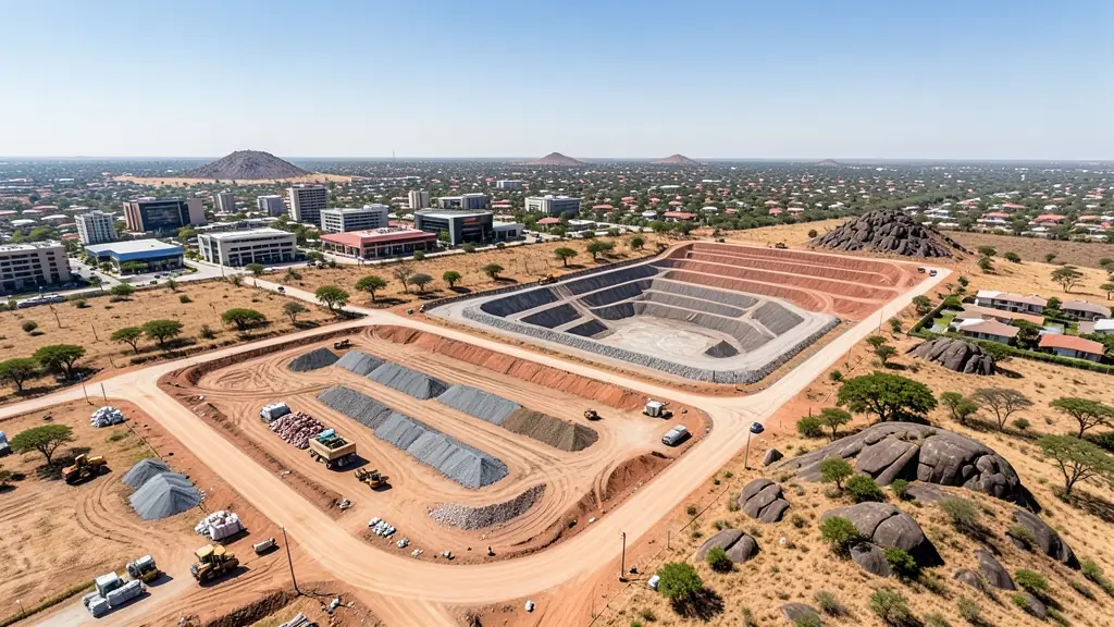
Compare pilots, licences and prices before anyone takes off. A free request for drone surveying and mapping in Polokwane goes to a drone surveyor covering Polokwane and nearby areas of Limpopo, and you see the offers side by side.
Drone Surveying and Mapping in Polokwane
Drone survey operators working around Polokwane map building sites, quarries, farms, roads and new developments. Local teams know the terrain, the bush cover and the airspace limits near airports, and many work with land surveyors in Limpopo, so ask for quotes from mapping operators who regularly fly here.
The main drone surveying and mapping page explains the types, the licences and the costs in more detail.
Drone services in Polokwane: local notes
Mines and quarries around Polokwane ask for stockpile volumes and pit mapping, and developers in Bendor want progress maps. Weddings in Seshego and Mankweng often include drone videography. Game farms towards Moletjie ask for fence line and water point surveys, and crop farmers want health maps after the first rains. Because of the airport, ask the operator whether they need clearance for your site and how they plan around afternoon storms in December and January.
Drones in Polokwane
Polokwane is the commercial hub of Limpopo, and drone requests come from mines, farms, builders and families across a wide region. Mines and quarries ask for stockpile volumes and pit surveys, farmers want crop and fence mapping, and developers in Bendor and Flora Park book marketing aerials. Weddings and cultural events in Seshego and Mankweng often add drone footage. Summer heat on the plateau shortens battery life, and afternoon storms bring lightning. Polokwane International Airport sits just north of town, so much of the city falls under controlled airspace. Operators here often travel to Tzaneen, Mokopane and beyond.

Typical drone surveying and mapping requests in the area come from:
- Mines, plants and utilities: stockpile, pit and tailings volumes for mines, quarries and bulk storage yards
- Farmers and growers: field boundaries, contours and drainage maps for planning lands, dams and roads
- Builders, engineers and installers: cut and fill, earthworks volumes and monthly progress maps on building sites
Local tips for Polokwane
Most asked for in Polokwane: mine and quarry surveys, farm mapping and wedding aerials. Where suppliers and pilots work from: shops and operators in Polokwane serving much of Limpopo. A useful tip: ask whether the operator needs airport clearance for your site.
Requests range widely: a few hectares to thousands of hectares. Here, mines, plants and utilities lead the requests, typically for stockpile, pit and tailings volumes for mines, quarries and bulk storage yards. One local point to raise: polokwane International Airport is just north of town: check before flying.
Service area: Polokwane and surrounds
Requests from Polokwane go to shops and pilots who already work in Seshego, Mankweng, Bendor, Flora Park, Moletjie, Westenburg, Ga-Mothapo and the rest of the area. Mention an estate's rules or a nearby airfield, because they change how a flight is planned.