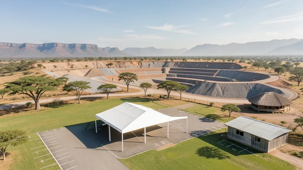
A good drone job starts with a clear brief. Describe yours once in a request for drone surveying and mapping in Limpopo, with the site, the date and what you need back, and we pass it to drone surveying and mapping companies who fly in towns and cities across Limpopo.
Drone Surveying and Mapping in Limpopo
Drone survey operators working around Limpopo map building sites, quarries, farms, roads and new developments. Local teams know the terrain, the bush cover and the airspace limits near airports, and many work with land surveyors in Limpopo, so ask for quotes from mapping operators who regularly fly here.
Want to know more first? Our drone surveying and mapping guide covers the options, the rules and what affects the price.
What to know locally in Limpopo
Licensed operators fly spraying and tree counts on avocado and mango farms near Tzaneen and Hoedspruit, survey pits and tailings around Mokopane and Phalaborwa, and inspect conveyors and stacks near Lephalale. Lodges in the Waterberg and along the Blyde River want marketing video, but filming must stay outside Kruger and other parks. Ask whether the pilot has flown near Air Force Base Hoedspruit before, because the town's airport shares its runway.
Drones in Limpopo
Limpopo is a long drive from most drone suppliers, yet it has plenty of work for them. Subtropical farms around Tzaneen, Letsitele and Levubu grow avocados, mangoes, citrus and macadamias, and growers ask for spray and scouting flights. Platinum near Mokopane, coal and power stations at Lephalale and copper and phosphate at Phalaborwa bring survey and inspection jobs. Game farms in the Waterberg and around Hoedspruit want aerial footage and help with fence and water checks. Kruger, Mapungubwe and Marakele national parks are closed to drones, and the air force bases at Makhado and Hoedspruit control large areas. Heat is the daily problem: batteries and phones overheat by midday.

Who asks for drone surveying and mapping around Limpopo, most often first:
- Farmers and growers: field boundaries, contours and drainage maps for planning lands, dams and roads
- Mines, plants and utilities: stockpile, pit and tailings volumes for mines, quarries and bulk storage yards
- Photographers, film crews and agencies: accurate 3D models of landscapes and sites used in visualisation and planning
Local tips for Limpopo
Popular here: orchard spraying, mine surveys and lodge marketing video. Ask each supplier about this: ask how the operator keeps batteries cool in midday heat. Where they work from: polokwane, Tzaneen and Hoedspruit, with operators from Pretoria.
Around Limpopo the largest group asking is farmers and growers, which usually means field boundaries, contours and drainage maps for planning lands, dams and roads. Before anything flies: rPL and ROC; boundaries need a land surveyor. Keep in mind: polokwane airport, Makhado and Hoedspruit air force bases, Kruger and Mapungubwe.
Service area: Limpopo and surrounds
Suppliers and operators on our network work throughout Limpopo, including Polokwane, Tzaneen, Mokopane, Lephalale, Hoedspruit, Thohoyandou, Phalaborwa. For farms and smaller towns, ask about travel costs and courier times for stock.