Compare pilots, licences and prices before anyone takes off. A free request for drone surveying and mapping in Richards Bay goes to a drone surveyor covering Richards Bay and nearby areas of KwaZulu-Natal, and you see the offers side by side.
Drone Surveying and Mapping in Richards Bay
Drone survey operators working around Richards Bay map building sites, quarries, farms, roads and new developments. Local teams know the terrain, the bush cover and the airspace limits near airports, and many work with land surveyors in KwaZulu-Natal, so ask for quotes from mapping operators who regularly fly here.
The main drone surveying and mapping page explains the types, the licences and the costs in more detail.
Drone services in Richards Bay: local notes
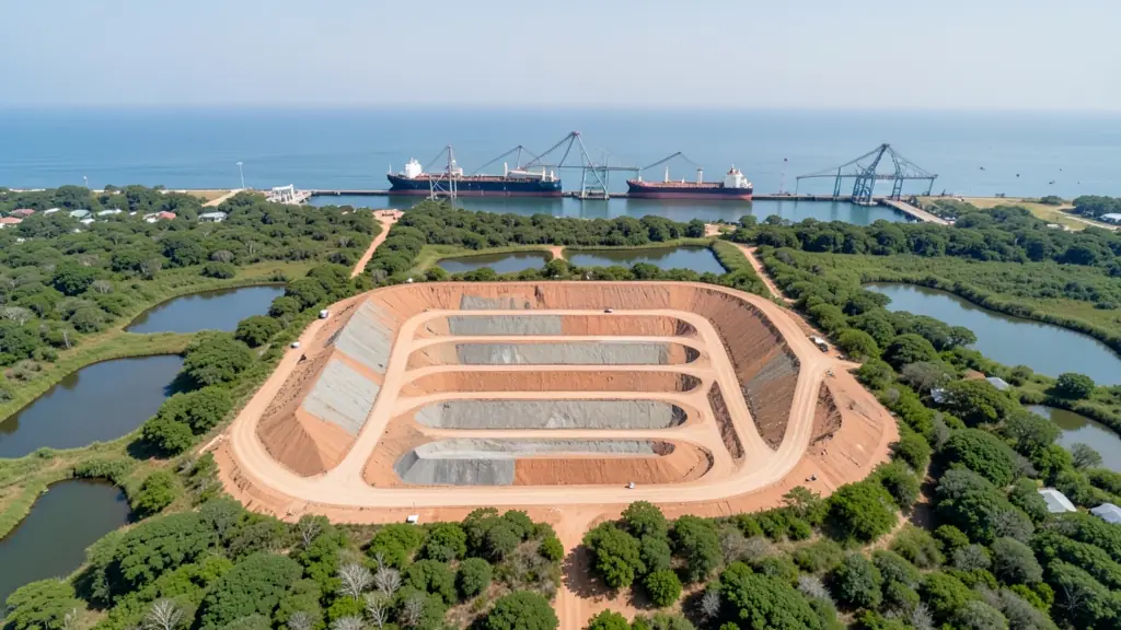
Most service work in Richards Bay sits inside fenced industrial sites at Alton and the harbour, where operators need site inductions and permits as well as their RPL and ROC. Stockpile volume surveys, stack and roof inspections and construction mapping are frequent jobs. Outside town, operators map cane fields near Felixton and eucalyptus stands toward eNseleni. Lodges near Mtunzini and St Lucia ask for short video packages.
Drones in Richards Bay
Richards Bay is a port and smelter town ringed by sugar cane, eucalyptus plantations and coastal lakes. Drone work here leans heavily industrial: stockpile volumes at the bulk terminals, conveyor and roof inspections, and progress surveys on new plant. Farms around Empangeni and Felixton call in spray drones and mapping for cane and timber. Much of the harbour and industrial zone is restricted, and Richards Bay Airport lies close to town, so recreational flying near Meerensee, the harbour and Alkantstrand needs a careful check. Summers are hot and sticky, with sea breezes and heavy storms, and salt air reaches far enough inland to corrode connectors. Lake Mzingazi and the Mhlathuze estuary draw nature filmers.

Who asks for drone surveying and mapping around Richards Bay, most often first:
- Mines, plants and utilities: stockpile, pit and tailings volumes for mines, quarries and bulk storage yards
- Farmers and growers: field boundaries, contours and drainage maps for planning lands, dams and roads
- Builders, engineers and installers: cut and fill, earthworks volumes and monthly progress maps on building sites
Local tips for Richards Bay
Drone suppliers for Richards Bay mostly work like this: richards Bay and Empangeni, with specialist crews travelling up from Durban. The requests that come up most: industrial inspections and stockpile surveys, plus cane and timber spraying. When you ask for quotes, ask whether the operator already holds site inductions for the harbour or smelters.
Around Richards Bay the largest group asking is mines, plants and utilities, which usually means stockpile, pit and tailings volumes for mines, quarries and bulk storage yards. Before anything flies: rPL and ROC; boundaries need a land surveyor. Keep in mind: richards Bay Airport is close to town; the harbour and plants are restricted.
Service area: Richards Bay and surrounds
Requests from Richards Bay go to shops and pilots who already work in Empangeni, Esikhaleni, eNseleni, Meerensee, Arboretum, Mtunzini, Felixton and the rest of the area. Mention an estate's rules or a nearby airfield, because they change how a flight is planned.