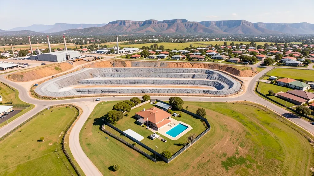
Compare pilots, licences and prices before anyone takes off. A free request for drone surveying and mapping in Newcastle goes to a drone surveyor covering Newcastle and nearby areas of KwaZulu-Natal, and you see the offers side by side.
Drone Surveying and Mapping in Newcastle
Drone survey operators working around Newcastle map building sites, quarries, farms, roads and new developments. Local teams know the terrain, the bush cover and the airspace limits near airports, and many work with land surveyors in KwaZulu-Natal, so ask for quotes from mapping operators who regularly fly here.
The main drone surveying and mapping page explains the types, the licences and the costs in more detail.
Drone services in Newcastle: local notes
Operators around Newcastle spend much of their time on plants in the Riverside industrial area, inspecting roofs, chimneys and conveyor runs. Coal mines toward Dannhauser and Utrecht ask for stockpile volumes and pit surveys. Heritage groups and tour guides use aerial video of Majuba Hill, Laing's Nek and O'Neill's Cottage. Estate agents in Signal Hill and Aviary Hill book property shoots. Ask how long the processed survey takes to arrive.
Newcastle from the air
Newcastle sits in the far north of KwaZulu-Natal, where coal country meets the battlefields and the Drakensberg foothills. Drones here are used to inspect the steelworks, factories and textile plants in the industrial areas, measure coal stockpiles at nearby mines, and film the old battle sites at Majuba Hill and Laing's Nek. Farmers on the open grassland around Utrecht and Ingogo ask for maize and cattle surveys. The town has its own airport, and Majuba power station lies to the north across the provincial border, so both shape where you can take off. Winters are frosty and clear with good light, while summer brings strong thunderstorms and hail to the plateau.

The requests we see from Newcastle usually come from:
- Mines, plants and utilities: stockpile, pit and tailings volumes for mines, quarries and bulk storage yards
- Farmers and growers: field boundaries, contours and drainage maps for planning lands, dams and roads
- Builders, engineers and installers: cut and fill, earthworks volumes and monthly progress maps on building sites
Local tips for Newcastle
Popular here: plant and roof inspections, mine stockpile surveys and battlefield filming. Ask each supplier about this: ask whether the pilot has worked on a plant site and holds the required inductions. Where they work from: newcastle town and the industrial areas, with crews from Pietermaritzburg too.
Drone Surveying and Mapping usually suit sites, mines, farms, roads and developments, done like this: grid flights processed into maps and models. For mines, plants and utilities, the biggest group here, that usually means stockpile, pit and tailings volumes for mines, quarries and bulk storage yards. On the weather side: clear frosty winters with good light; summer thunderstorms and hail on the plateau.
Service area: Newcastle and surrounds
Suppliers and operators on our network work in Newcastle and surrounding areas, including Madadeni, Osizweni, Blaauwbosch, Utrecht, Dannhauser, Charlestown. Give the suburb, farm or site so the quote can include travel, delivery and any airspace approval.