Need drone surveying and mapping in KwaZulu-Natal? CameraDrones.co.za puts farms, businesses, estate agents and event organisers in KwaZulu-Natal in touch with drone surveying and mapping companies working in towns and cities across KwaZulu-Natal. Send one request and licensed operators quote you directly, free and with no obligation.
Drone Surveying and Mapping in KwaZulu-Natal
Drone survey operators working around KwaZulu-Natal map building sites, quarries, farms, roads and new developments. Local teams know the terrain, the bush cover and the airspace limits near airports, and many work with land surveyors in KwaZulu-Natal, so ask for quotes from mapping operators who regularly fly here.
The main drone surveying and mapping page explains the types, the licences and the costs in more detail.
What to know locally in KwaZulu-Natal
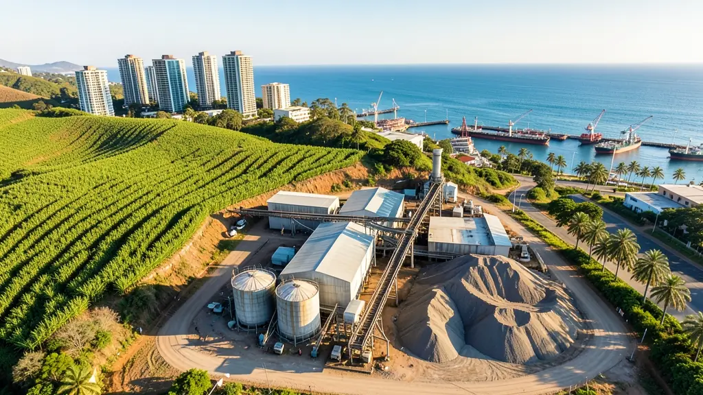
Operators in KwaZulu-Natal spray and map sugar cane on the north and south coasts, measure timber in plantations around Melmoth and Kranskop, and inspect cranes, silos and storage tanks at Durban harbour and Richards Bay. Estate agents in Umhlanga, Ballito and Hillcrest book aerial photos for sea-view and hillside homes, and lodges near Hluhluwe want video filmed outside the park fences. Ask about controlled airspace near King Shaka and Virginia before booking coastal shoots.
KwaZulu-Natal from the air
KwaZulu-Natal mixes a busy coast, sugar cane hills, timber plantations and big game parks, and drone work covers all of it. Cane and forestry growers in the Midlands and Zululand use drones for mapping, stand counts and spraying. The harbours at Durban and Richards Bay, factories in Pinetown and Newcastle, and the coastal resorts bring inspection, property and tourism work. King Shaka International sits on the north coast and Virginia Airport serves Durban north, while Ezemvelo parks such as Hluhluwe-iMfolozi, the iSimangaliso Wetland Park and the Drakensberg need permission to fly. Summers are hot and humid with heavy rain, and sea breezes and salt air are hard on motors.

The requests we see from KwaZulu-Natal usually come from:
- Farmers and growers: field boundaries, contours and drainage maps for planning lands, dams and roads
- Estate agents and developers: site plans and 3D models for developers before design and during marketing
- Mines, plants and utilities: stockpile, pit and tailings volumes for mines, quarries and bulk storage yards
Local tips for KwaZulu-Natal
Popular here: sugar cane spraying, port inspections and coastal property photos. Ask each supplier about this: ask how the operator protects the drone from salt air and rain. Where they work from: durban, Umhlanga, Pietermaritzburg, Ballito and Richards Bay.
Drone Surveying and Mapping usually suit sites, mines, farms, roads and developments, done like this: grid flights processed into maps and models. For farmers and growers, the biggest group here, that usually means field boundaries, contours and drainage maps for planning lands, dams and roads. On the weather side: hot humid summers, heavy rain and salt air: dry and clean gear after flights.
Service area: KwaZulu-Natal and surrounds
Suppliers and operators on our network work throughout KwaZulu-Natal, including Durban, Pietermaritzburg, Umhlanga, Ballito, Richards Bay, Newcastle, Port Shepstone. For farms and smaller towns, ask about travel costs and courier times for stock.