Need drone surveying and mapping in Welkom? CameraDrones.co.za puts farms, businesses, estate agents and event organisers in Welkom in touch with drone surveying and mapping companies working in Welkom and nearby areas of Free State. Send one request and licensed operators quote you directly, free and with no obligation.
Drone Surveying and Mapping in Welkom
Drone survey operators working around Welkom map building sites, quarries, farms, roads and new developments. Local teams know the terrain, the bush cover and the airspace limits near airports, and many work with land surveyors in Free State, so ask for quotes from mapping operators who regularly fly here.
New to this? Read the drone surveying and mapping guide for the choices and the questions worth asking before you pay.
Welkom notes on drone services
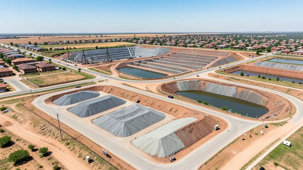
Mines around Welkom and Virginia ask for headgear inspections, tailings dam wall monitoring and stockpile volumes. Old mine land near Odendaalsrus and Allanridge is mapped for rehabilitation and new uses. Filming birds at Flamingo Pan needs distance and care, so the flamingos are not disturbed. Ask the operator for a sample inspection report, and whether they have worked to a mine's induction and permit system before.
Drones in Welkom
Welkom was built for the Free State goldfields, and mining still shapes its drone work. Mines ask for headgear and shaft inspections, tailings dam monitoring and stockpile volumes, while old mine land is mapped for rehabilitation and new uses. Pans around town, such as Flamingo Pan, draw birdlife filming. Farms on the surrounding grassland want crop surveys. Summer brings thunderstorms and lightning, while winter days are dry and cold with dust off the tailings. Welkom has a local airport, so check airspace before flying near it. Many operators also serve Odendaalsrus, Virginia and Riebeeckstad.

Typical drone surveying and mapping requests in the area come from:
- Mines, plants and utilities: stockpile, pit and tailings volumes for mines, quarries and bulk storage yards
- Municipalities, schools and NGOs: aerial mapping for municipal planning, informal settlement upgrades and roads
- Farmers and growers: field boundaries, contours and drainage maps for planning lands, dams and roads
Local tips for Welkom
Most asked for in Welkom: mine headgear and tailings inspections, and land rehabilitation mapping. Where suppliers and pilots work from: local mine service firms; shops and larger operators in Bloemfontein. A useful tip: ask whether the operator holds mine site safety papers and inspection experience.
Around Welkom the largest group asking is mines, plants and utilities, which usually means stockpile, pit and tailings volumes for mines, quarries and bulk storage yards. Before anything flies: rPL and ROC; boundaries need a land surveyor. Keep in mind: welkom has a local airport: check airspace before flying near it.
Service area: Welkom and surrounds
Our network covers Welkom together with Thabong, Odendaalsrus, Virginia, Riebeeckstad, Allanridge, Hennenman. A street address or a farm name helps a drone surveyor check the airspace before quoting.