Compare pilots, licences and prices before anyone takes off. A free request for drone surveying and mapping in Sasolburg goes to a drone surveyor covering Sasolburg and nearby areas of Free State, and you see the offers side by side.
Drone Surveying and Mapping in Sasolburg
Drone survey operators working around Sasolburg map building sites, quarries, farms, roads and new developments. Local teams know the terrain, the bush cover and the airspace limits near airports, and many work with land surveyors in Free State, so ask for quotes from mapping operators who regularly fly here.
New to this? Read the drone surveying and mapping guide for the choices and the questions worth asking before you pay.
Drone services in Sasolburg: local notes
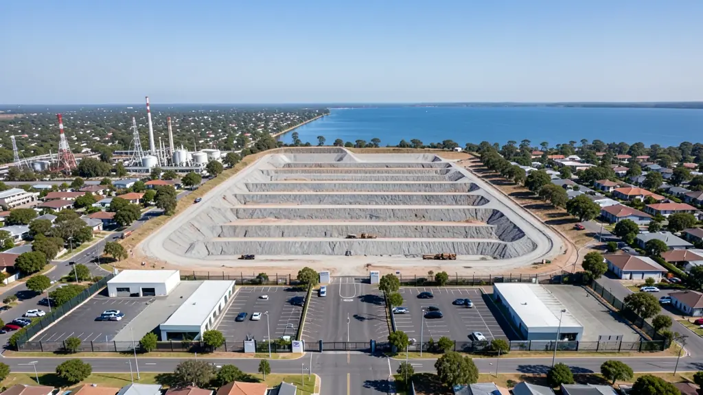
Plants in Sasolburg ask for thermal inspections of flare stacks, tanks and pipe racks, and contractors want progress mapping during planned shutdowns. Property agents in Vaalpark and Deneysville want aerials of homes and plots along the Vaal Dam shore. Ask the operator whether they hold the site permits and safety training needed for industrial work, and whether their drone is cleared for use near flammable areas.
Drones in Sasolburg
Sasolburg was planned around a large petrochemical complex, and much of its drone work is industrial. Plants ask for flare stack, pipe rack and tank inspections, often with thermal cameras, while contractors want progress mapping on maintenance shutdowns. These sites are restricted and need strict permits and safety briefings. The Vaal Dam and Vaal River to the east draw leisure and property filming at Deneysville and Vaalpark. Highveld summers bring thunderstorms and lightning, and winter mornings are hazy with smoke and frost. Vereeniging has a small airport across the river, so check airspace before flying.

Typical drone surveying and mapping requests in the area come from:
- Mines, plants and utilities: stockpile, pit and tailings volumes for mines, quarries and bulk storage yards
- Builders, engineers and installers: cut and fill, earthworks volumes and monthly progress maps on building sites
- Security companies and estates: up-to-date aerial maps of large sites for planning fences, gates and patrol routes
Local tips for Sasolburg
Most asked for in Sasolburg: thermal and visual inspections of plants, tanks and pipe racks. Where suppliers and pilots work from: industrial service firms in Sasolburg and the Vaal; shops in Gauteng. A useful tip: ask whether the operator holds plant permits and has flown on chemical sites.
Drone Surveying and Mapping usually suit sites, mines, farms, roads and developments, done like this: grid flights processed into maps and models. For mines, plants and utilities, the biggest group here, that usually means stockpile, pit and tailings volumes for mines, quarries and bulk storage yards. On the weather side: highveld summer storms; hazy, smoky and frosty winter mornings.
Service area: Sasolburg and surrounds
Suppliers and operators on our network work in Sasolburg and surrounding areas, including Zamdela, Vaalpark, Deneysville, Vanderbijlpark, Vereeniging, Coalbrook. Give the suburb, farm or site so the quote can include travel, delivery and any airspace approval.