Compare pilots, licences and prices before anyone takes off. A free request for drone photography in Free State goes to a drone photographer covering towns and cities across Free State, and you see the offers side by side.
Drone Photography in Free State
Licensed drone photographers working in and around Free State shoot farms, lodges, venues, business premises and outdoor events. Local pilots know where the controlled airspace starts, which estates ask for written permission and when the wind usually drops, so ask for quotes from operators who regularly fly in Free State.
The main drone photography page explains the types, the licences and the costs in more detail.
Drone services in Free State: local notes
Licensed operators map grain fields near Bothaville and Frankfort, spray crops for farmers in the Riemland around Heilbron and Petrus Steyn, and survey tailings and old shafts in the Goldfields around Welkom and Odendaalsrus. Guesthouses and wedding venues in Clarens, Parys and along the Vaal River book aerial photos and video. Ask spraying operators which approvals they hold, and how wind on the open plains affects their planned dates.
What people fly for in Free State
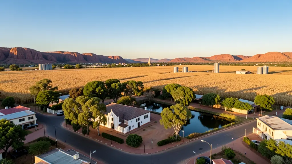
The Free State is wide grain country, and much of its drone work starts on the farm. Maize, wheat, sunflower and soya growers around Bothaville, Viljoenskroon and Reitz ask for crop mapping, stand counts and spraying. The Goldfields near Welkom and Virginia add mine and tailings surveys, and the chemical plants at Sasolburg need careful inspection work. Bloemfontein brings property, construction and event jobs. In the eastern highlands, Clarens and the Maluti foothills draw content creators, but Golden Gate Highlands National Park is off limits. Bram Fischer International Airport and Bloemspruit air force base sit beside Bloemfontein. Winters are frosty with clear skies, and summer storms build fast over the open plains.
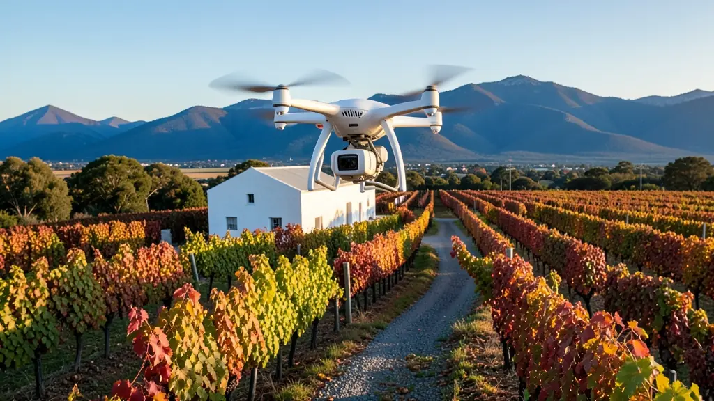
The requests we see from Free State usually come from:
- Farmers and growers: overview photos of orchards, dams, pivots and boundaries for records, sales or funding
- Mines, plants and utilities: roof, yard and plant photos for annual reports, insurance and site planning
- Estate agents and developers: photos of developments, complexes and commercial buildings for brochures and websites
Local tips for Free State
Most asked for in Free State: grain crop mapping and spraying, Goldfields surveys and venue footage. Where suppliers and pilots work from: bloemfontein, Welkom, Bethlehem and Kroonstad. A useful tip: ask the spraying operator which approvals they hold and their wind limit.
Requests range widely: one building to a whole farm per shoot. Here, farmers and growers lead the requests, typically for overview photos of orchards, dams, pivots and boundaries for records, sales or funding. One local point to raise: bram Fischer airport and Bloemspruit base near Bloemfontein; Golden Gate off limits.
Service area: Free State and surrounds
Suppliers and operators on our network work throughout Free State, including Bloemfontein, Welkom, Kroonstad, Bethlehem, Sasolburg, Harrismith, Clarens. For farms and smaller towns, ask about travel costs and courier times for stock.