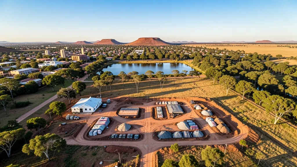
Need drone photography in Bloemfontein? CameraDrones.co.za puts farms, businesses, estate agents and event organisers in Bloemfontein in touch with licensed drone photographers working in Bloemfontein and nearby areas of Free State. Send one request and licensed operators quote you directly, free and with no obligation.
Drone Photography in Bloemfontein
Licensed drone photographers working in and around Bloemfontein shoot farms, lodges, venues, business premises and outdoor events. Local pilots know where the controlled airspace starts, which estates ask for written permission and when the wind usually drops, so ask for quotes from operators who regularly fly in Free State.
Want to know more first? Our drone photography guide covers the options, the rules and what affects the price.
Drone services in Bloemfontein: local notes
Provincial and municipal teams ask for mapping of roads, informal settlements and housing projects in Mangaung and Heidedal. Developers in Langenhoven Park want monthly progress maps, and farms in Bainsvlei ask for crop surveys after hail. Wedding venues along the Modder River often add drone footage. Because of Bram Fischer airport and AFB Bloemspruit, ask the operator whether your site needs clearance first.
Drones in Bloemfontein
Bloemfontein is the judicial capital and a central hub for the Free State, so drone requests come from government, universities, farms and builders. Developers in Langenhoven Park and Bainsvlei want progress maps, maize and sunflower farms ask for crop surveys, and families book wedding and event aerials. Naval Hill is a popular viewpoint, but it is a nature reserve, so check before flying. Bram Fischer International Airport and Air Force Base Bloemspruit both sit east of town, controlling much of the airspace. Summer thunderstorms bring lightning and hail, while winter mornings are frosty and clear. Many operators here also cover Botshabelo and Thaba Nchu.
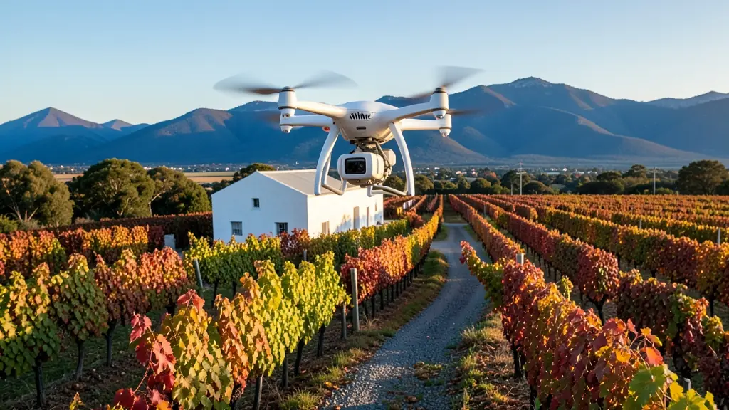
The requests we see from Bloemfontein usually come from:
- Municipalities, schools and NGOs: aerial photos of schools, parks and public works for reports and community notices
- Farmers and growers: overview photos of orchards, dams, pivots and boundaries for records, sales or funding
- Builders, engineers and installers: monthly progress photos taken from the same point to track a building site
Local tips for Bloemfontein
Drone suppliers for Bloemfontein mostly work like this: shops and operators in Bloemfontein serving the Free State. The requests that come up most: government mapping, farm surveys and estate marketing aerials. When you ask for quotes, ask whether your site needs clearance from the airport or air force base.
Around Bloemfontein the largest group asking is municipalities, schools and NGOs, which usually means aerial photos of schools, parks and public works for reports and community notices. Before anything flies: paid shoots need an RPL and ROC. Keep in mind: bram Fischer airport and AFB Bloemspruit lie east: much airspace is controlled.
Service area: Bloemfontein and surrounds
Our network covers Bloemfontein together with Botshabelo, Thaba Nchu, Langenhoven Park, Brandwag, Heidedal, Mangaung, Bainsvlei. A street address or a farm name helps a drone photographer check the airspace before quoting.