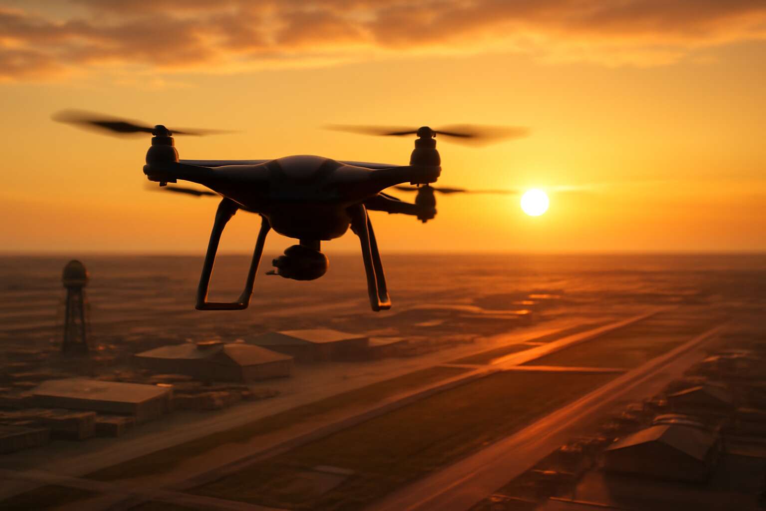
Legal and Regulatory Landscape for Drones Near Military Installations
Overview of airspace restrictions and restricted areas
The sky around military bases isn’t a free-for-all; it’s a regulated harbor. The risk is real: more than half of reported near-misses involve drones breaching restricted airspace.
In South Africa, the Civil Aviation Authority anchors the legal landscape. Flights near sensitive installations are governed by airspace designations, NOTAMs, and base security protocols. The idea of drones over military bases triggers heightened oversight and licensing.
Here are core elements of the landscape:
- NOTAMs and temporary flight restrictions
- Geofencing and altitude ceilings near bases
- Base security coordination with authorities
So, the law keeps the sky tidy, even in a country that loves a bit of swagger.
Compliance with national and local drone laws
Legal and Regulatory Landscape for Drones Near Military Installations demands disciplined respect for the law. In South Africa, compliance begins long before takeoff: registration, operator certification, and adherence to national drone regulations shape every mission. For operators watching drones over military bases, the stake isn’t novelty—it’s accountability. “Airspace is a national asset,” a regulator once warned, and the warning echoes through every control room and training ground.
- Registration and operator certification under the Civil Aviation Authority (CAA)
- Site-specific approvals and local permitting processes
- Privacy, data handling, and security obligations
- Insurance requirements and incident reporting protocols
National and local drone laws govern every flight, keeping the legal horizon tidy even as swagger meets the sky above sensitive sites.
Licensing, waivers, and enforcement considerations
“Airspace is a national asset,” a regulator once warned, and that sentiment lands with a thud when drones over military bases glide into the radar. In South Africa, licensing begins at the desk: you’ll need Civil Aviation Authority (CAA) licensing, operator certification, and site-specific approvals that align with national drone regulations. This isn’t a DIY hobby; it’s a carefully logged mission where accountability is the flight plan.
- Licensing and operator certification with the Civil Aviation Authority (CAA)
- Site-specific approvals, waivers, and local permitting processes
- Privacy, data handling, security obligations, and incident reporting protocols
Enforcement considerations are not theatrical—they’re procedural: regulators monitor compliance, audits happen, and penalties loom for breaches; even a momentary lapse can escalate into an incident report that reverberates through the base’s control room and the public domain.
Penalties and risk management for non-compliance
Last year, penalties for near-miss drone incidents near sensitive sites topped several million rand. When drones over military bases appear on the regulator’s radar, responses are brisk and highly procedural—no dramatic music, just checklists and audits.
Penalties extend beyond fines. The legal architecture enforces licensing reviews, mandatory incident reports, and cross-agency audits that ripple through an organization and into public records. Robust risk management hinges on clear accountability and proven processes.
- Pre-flight risk assessments and site-specific approvals
- Immediate, regulator-friendly incident reporting
- Data privacy controls and secure information handling
- Security obligations, breach response, and post-incident reviews
With that discipline in place, drones over military bases become a regulated, safely navigated activity rather than a headline-grabbing fiasco.
Security, Safety, and Risk Management Near Sensitive Installations
Threat modeling and risk assessment
In a landscape where South Africa’s innovation soars and vigilance never sleeps, the sky becomes a ledger of risk. When drones over military bases drift into view, security and curiosity collide in a single breath, reminding us that every flight path traces a larger story of safety.
Threat modeling and risk assessment start with distance, not drama. Near sensitive installations, every wingbeat is a data point: who might watch, what sensors could fail, and how people react. A concise checklist helps, as in:
- Asset and perimeter mapping
- Communication and sensor vulnerabilities
- Incident traceability and response roles
Let risk modeling guide policy, not punishment; let safety be a shared promise, not a narrow boundary. In the end, the beauty of controlled skies—especially over critical sites—depends on disciplined respect for regulations and the human stories we guard beneath them. The discourse on drones over military bases is about stewardship, not prohibition.
Coordination with installation authorities and first responders
Security takes the stage when the sky becomes a potential inbox. In South Africa, a glance skyward can shift risk from rumor to evidence in seconds. Drones over military bases demand more than restraint—they require proactive, human-grade coordination that keeps curiosity in check and safety in focus.
Coordination with installation authorities and first responders anchors every prudent operation near sensitive sites, turning near-misses into rehearsed, calm exchanges rather than chaos.
- Pre-flight coordination and notification
- Clear incident channels and data sharing
- Defined roles for rapid response
Let the dialogue between security minds, regulators, and first responders choreograph the skies so that awe remains in awe, not in alarm.
No-fly zones, temporary flight restrictions, and emergency procedures
Across South Africa, a single misstep can trigger a cascade among security services in mere seconds. When drones over military bases drift toward the perimeter, safety hinges on proactive, human-grade coordination rather than luck. The goal is to convert curiosity into evidence and risk into a rehearsed, safe exchange!
Near sensitive installations, a disciplined framework rests on three pillars:
- No-fly zones and temporary flight restrictions
- Emergency procedures and escalation paths
- Defined roles for rapid response and interagency coordination
Emergency protocols are not a thrill-seeking afterthought; they are rehearsed, clear channels that keep conversations between security teams, regulators, and responders orderly. The result is a disciplined sky, where awe remains unshaken and alarm remains grounded.
Privacy and civil liberties considerations when operating near sensitive sites
Across South Africa, the gaze of security forces meets the curiosity of hobbyists when drones over military bases drift toward the perimeter. Security, safety, and risk management near sensitive installations hinge on discipline rather than luck. We crave governance that respects privacy and civil liberties while preserving operational readiness—a choreography that keeps the sky serene and the scramble well-contained.
- Data minimization and lawful purpose in data collection.
- Transparent, proportionate notifications to affected communities and workers.
- Robust access controls, retention policies, and accountability for imagery.
In practice, privacy stewardship becomes part of the system, not an afterthought. South Africa’s regulatory landscape recognizes that rights and resilience can coexist with high-fidelity security, guiding interagency coordination and public-interest considerations when borders of safety and liberty intersect.
Technology and Operational Best Practices Around Sensitive Sites
Payload and surveillance camera considerations
In the air, a quiet storm of data stirs—the kind of number that makes security chiefs lean forward: drone activity near sensitive installations rose 18% last year. The phrase drones over military bases now carries heavier weight in policy and perception.
Technology and operational best practices around sensitive sites hinge on balance: payload and camera systems must harmonize with the platform’s power, weight, and flight time. For many, Payload and surveillance camera considerations dictate the shape of any operation near perimeters. For surveillance near perimeters, optical, infrared, and hybrid sensors demand careful calibration and robust data handling.
- Payload integration: weight, center of gravity, power budget
- Camera options: RGB, thermal, low-light
- Data security: encryption, access controls
In South Africa, these considerations become a living myth of stewardship—guardianship of airspace, not conquest!
GPS integrity, geofencing, and anti-jamming measures
Under South Africa’s night sky, the whisper of metal and moonlight carries more than metal. As drones over military bases skim the perimeters, GPS integrity becomes the hinge between awe and accountability, a quiet vow to dignity and safety. The policy-minded gaze hovers, weighing risk against stewardship in airspace.
Beyond satellites, robust GPS integrity rests on resilient receivers, anti-spoofing measures, and cross-checks with inertial data when signals bend or vanish. In such shadows, trusted timing and redundant channels knit a fabric that respects sovereignty while enabling legitimate operations where data must remain authentic and intact.
Geofencing and anti-jamming measures become living guardians around sensitive sites. Dynamic geofences, authenticated updates, and encrypted telemetry create a principle of containment that does not stifle innovation but condenses risk into certainties. In this theatre, every signal has a reputation to keep—our own.
- Dynamic, authority-signed geofences
- Encrypted, tamper-evident telemetry
- Independent validation of navigation signals
Flight planning, preflight checks, and maintenance
The night sky is a ledger; every flight writes its balance in light and measured caution. “Preparation is the aeronaut’s first protection,” a seasoned operator says, and in South Africa that wisdom travels from coastal airstrips to guarded bases with quiet authority.
Technology and discipline converge in flight planning, preflight checks, and maintenance. When drones over military bases appear on a map, meticulous planning and data integrity become the silent sentinels. The posture is patient, the stance deliberate, ensuring sensors, power, and links stay trustworthy throughout the mission.
- Robust data and scenario validation for planning
- Secure telemetry and firmware checks for readiness
- Comprehensive maintenance scheduling and calibration history
These principles keep the sky a place of accountability and performance.
Communication systems and redundancy planning
Technology and operational rigor hinge on communication at the edge of flight. For drones over military bases, the link is more than data—it’s trust forged in encrypted channels, tested redundancies, and disciplined procedures. In South Africa, horizons stretch from coastal airstrips to inland compounds, making robust comms non-negotiable.
Redundancy planning means multiple layers: primary RF control, a secondary beacon path, and a satellite fallback for loss of line-of-sight. Telemetry integrity, real-time health monitoring, and rapid switchover routines keep a mission alive when conditions falter.
- Redundant link architectures
- Telemetry integrity and monitoring
- Secure data capture and storage
Operational discipline extends to cyber resilience and staff readiness: training drills, incident response playbooks, and strict version control for firmware. In practice, drones over military bases demand that planners treat every link as a potential choke point, turning volatility into measured certainty over sensitive sites.
Risk-aware flight maneuvers and contingency planning
In the hush beyond the perimeter, courage and calibration share a single breath. Technology and operational rigor fuse the moment a drone breaks from the tarmac toward a sensitive site. Drones over military bases demand more than skill; they demand a reverent tempo and contingency readiness. Across South Africa, where expansive coastlines meet inland compounds, flight paths must bend to risk-aware maneuvers and disciplined decision points.
- Risk-aware flight envelopes around sensitive zones
- Contingency thinking embedded in mission concepts
- Transparent, auditable data and incident logs
Discretion, grace, and sober preparation keep the promise of safe skies over demanding sites.
Industry Trends and SEO Strategies for Drones in Restricted Airspace
Emerging policy developments and regulatory outlook
“The airspace is becoming a policy battleground,” a sector analyst says, and that tension shapes every flight for drones over military bases. Across borders, industry trends point to responsible storytelling, interoperability, and a renewed respect for restricted airspace as a shared frontier.
Emerging policy developments and the regulatory outlook demand content that mirrors careful navigation: clear intent, authoritative sourcing, and South Africa’s unique context. SEO today favors human-centric narratives, precise terminology, and contextual signals that align with readers who plan, monitor, or regulate operations near sensitive installations. By weaving policy updates with case studies and local perspectives, the narrative remains relevant without sensationalism.
Case studies: incidents and lessons learned
In South Africa’s sky, reports of drones over military bases have surged, turning airspace into a policy battleground. Industry trends push responsible storytelling, interoperability, and a shared respect for restricted zones. The resulting narrative centers on safety, accountability, and verifiable data.
- 2022: a near-miss above a base highlighted gaps in reporting; takeaway: rapid hazard alerts matter.
- 2023: a flight into a temporary restriction underscored cross-agency coordination; takeaway: real-time notices are indispensable.
- 2024: GPS glitches near an urban corridor stressed redundancy; takeaway: multi-sensor position data is essential.
SEO now favors human-centric narratives and local context. For SA readers, case studies, clear terminology, and authentic voices drive engagement.
Industry standards and certifications for operation near critical sites
Drones over military bases aren’t a novelty—they’re a policy barometer for airspace governance in South Africa. The emphasis is on accountability, verifiable data, and human-centric storytelling that cuts through sensationalism.
Industry trends push toward interoperability, standardized risk frameworks, and real-time notices. Local audiences prize credible voices and transparent incident reporting; certification pathways near critical sites are expanding, anchored by evolving industry standards. The reality on the ground is that speed in hazard alerts matters!
- Local storytelling that reflects SA operators and authorities
- Clear terminology and metadata that support drones over military bases risk communication
- Verifiable data and credible case studies as SEO anchors
SEO and content strategy: ranking factors for drone safety content
In South Africa’s sky, risk alerts around critical sites have grown 40% over the past year, a statistic that doesn’t lie: policy is the new battlefield for airspace governance! Industry trends push toward interoperability, standardized risk frameworks, and real-time notices that cut through noise. The ethos of accountability matters, and a human voice translating data into trusted action remains essential.
For content strategy, credibility, metadata, and local voices are essential. The concept of drones over military bases requires clear terminology and verifiable data, anchored by credible case studies. SEO rewards transparent incident reporting and credible voices, so the narrative blends SA operators with authorities to reflect ground truth and public trust.
- Authoritative incident data tied to local authorities
- Clear terminology and metadata for risk communication
- Credible case studies and operator profiles
- Structured data and E-A-T signals for SEO



0 Comments